What is recorded here
Wileys Fort stands in County Antrim, a forgotten shape on the land where human hands once bent stone or earth. Its name suggests a family or a claim, yet the fort itself gives no date, no owner, no purpose beyond existing. Perhaps it marked a boundary, sheltered a household, or watched a road now lost. The absence of detail does not diminish it; it refuses to be reduced. A fort is a answer given before the question is asked. Wileys Fort waits for someone to ask it back.
Wileys Fort is recorded as a archaeological place in County Antrim. Its open map record supplies this location and any linked names or public references.
Places near here
 ENCLOSURE & Man-made underground passage (unlocated)ENCLOSURE & Man-made underground passage (unlocated), Duplicate of Ant 045:090? · 992 yd
 ENCLOSURE in CalhameENCLOSURE · 1061 yd
 RUINED STRUCTURERUINED STRUCTURE, CHURCH? · 1.7 mi
_-_geograph.org.uk_-_5247773.jpg?width=1280) Ulster BankBank · 1.8 mi
Ulster BankBank · 1.8 mi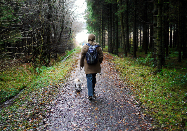 Woodburn ForestForest · 3.0 mi
 North Carn ForestForest · 3.1 mi
 FORTIFIED HOUSE: CASTLE HILL in DunamoyFORTIFIED HOUSE: CASTLE HILL · 3.6 mi
 O'Haughan's CaveCave · 3.9 mi
 Sentry Hill Historic HouseMuseum · 4.2 mi
 Carnmoney HillMountain / peak · 4.7 mi
 TOWER-HOUSE: CASTLE LUG or CLOGH-NA-LARTY in West DivisionTOWER-HOUSE: CASTLE LUG or CLOGH-NA-LARTY · 5.2 mi
 Millennium MilepostVisitor information · 5.5 mi