What is recorded here
Eleven stones and a broken cliff enclose a shallow D-shaped chamber above two Donegal lakes, yet no entrance or purpose is clear. The largest stones cluster at the southeast edge as if marking a threshold that never formed, while the cliff supplies the missing wall. Whatever lived inside that small circle left no door, no alignmen
On level ground at the foot of a low collapsed cliff face at the base of a collapsed SW-facing cliff face in mountainous terrain, overlooking Lough Croangan and Lough Crumbane. D-shaped area (dims. 9.4m NW-SE; 5.6m NE-SW) whose straight side is formed by the cliff face. The remainder of the circuit is defined by a series of 11 stones of varying sizes. The largest are at SE. There is no indication of an entrance. The nature and function of this feature cannot be determined with any degree of confidence on the basis of the upstanding remains.
Compiled by: Patrick F. O'Donovan
Date of upload: 28 June 2012
The monument record does not grant public access. Check the route and ask the landowner before entering private land.
- What survives
- Recorded monument
Places near here
 Crolly WaterfallWaterfall · 2.0 mi
 Loch an Iúir Stone RingfortFairy fort / stone ringfort · 3.0 mi
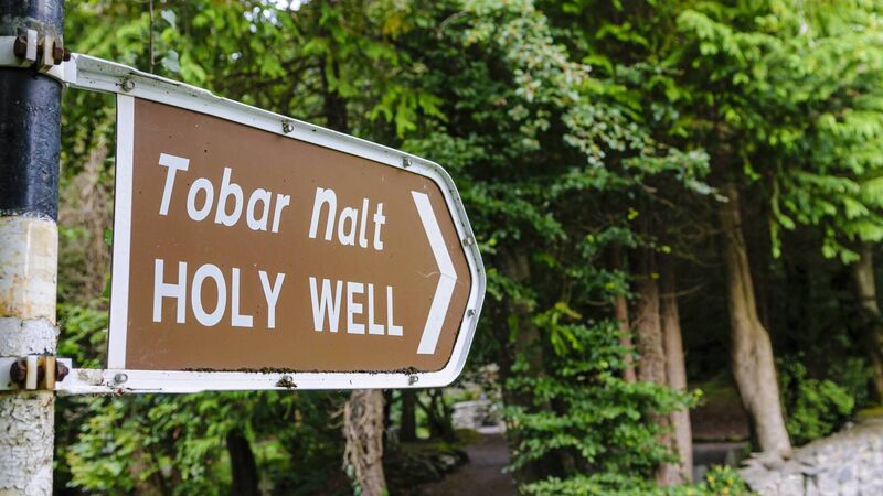 Holy well in Doire Na CoradhHoly well · 3.4 mi
 icehouseicehouse · 3.5 mi
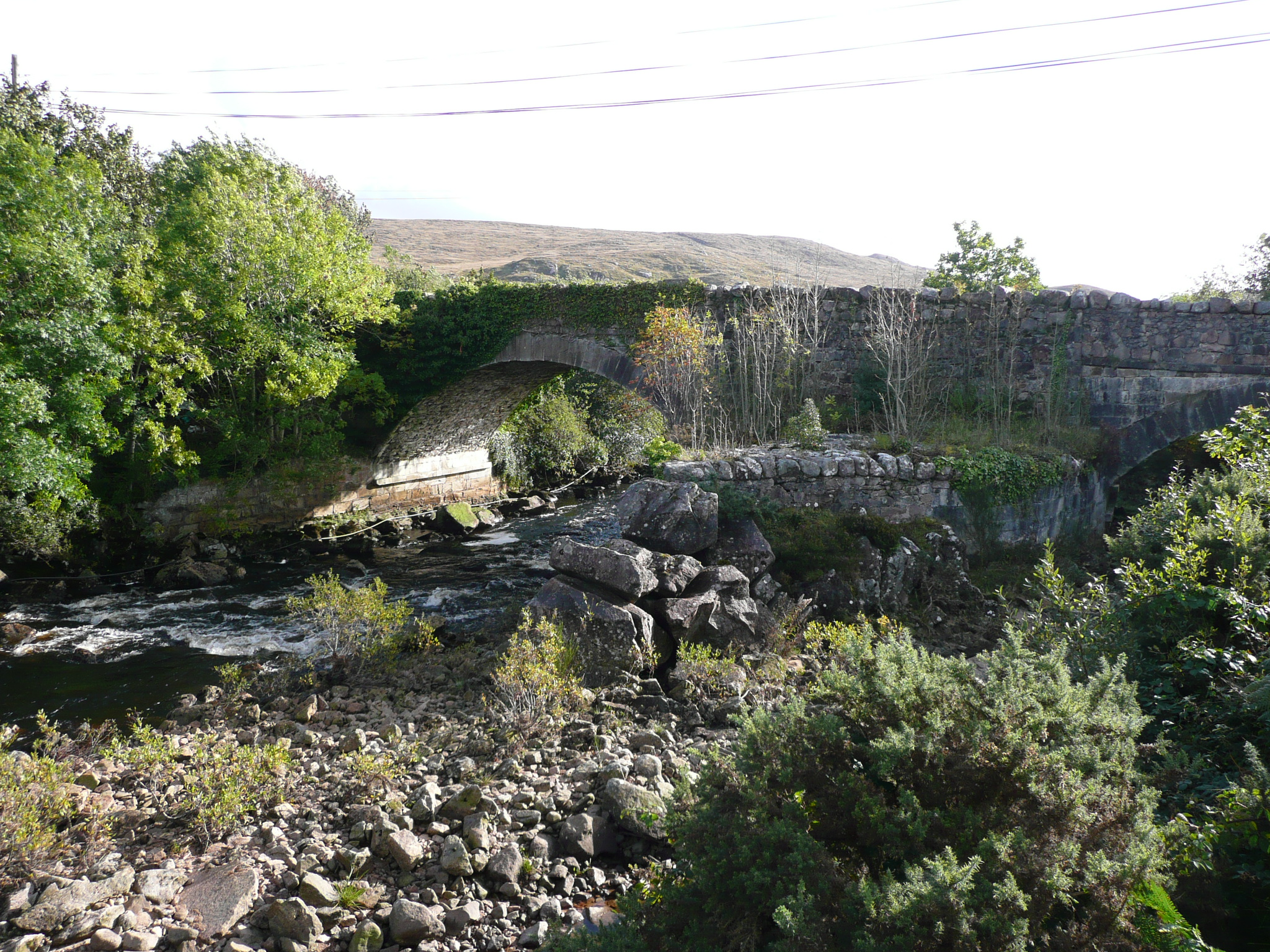 Doochary Bridgebridge · 3.6 mi
 CrockfaddaMountain / peak · 3.9 mi
 An tOileán DubhIslet · 4.1 mi
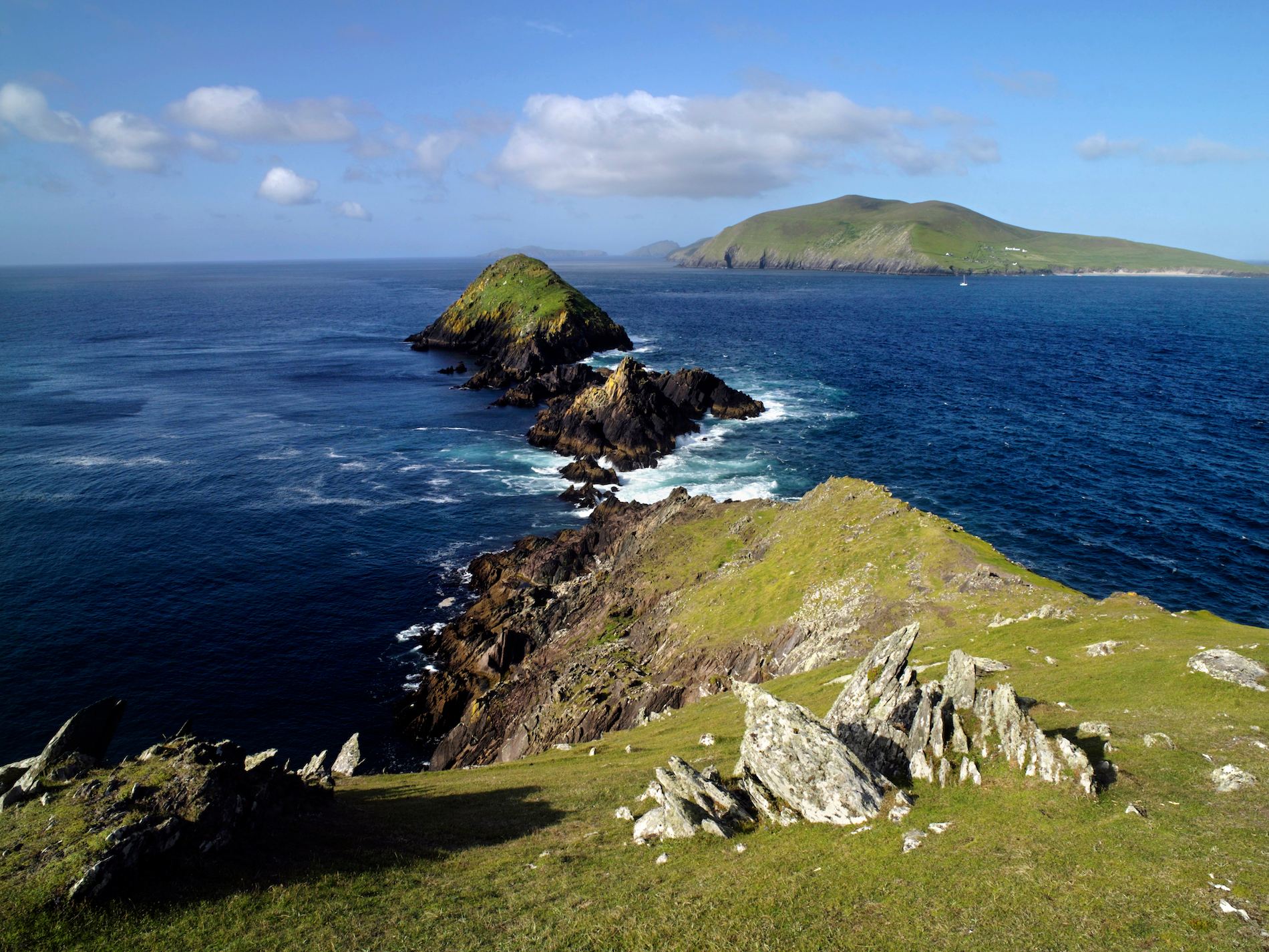 Brush IslandsIslet · 4.1 mi
 Crockfadda North-East TopMountain / peak · 4.4 mi
 Lough Barra Bog Nature ReserveNational nature reserve · 4.8 mi
 Meenachullion Nature ReserveNational nature reserve · 5.8 mi
 Dunlewey CentreHeritage attraction · 6.0 mi