What is recorded here
Enclosure in Annagh North is a slightly raised oval, 18m long, wrapped in a low earthen bank beside a ringfort on Annagh bog. Sheep and cattle have gnawed gaps through the boundary, turning a deliberate enclosure into a broken circle of grass and memory. The land still holds the shape of hands that stacked soil against the wet dark.
In southern portion of Annagh bog, c. 22m to E of bivallate ringfort (12036). Depicted as hachured mound on 1936 OS 6-inch map. Oval slightly raised area (18m NW-SE; 14.5m NNE-SSW) enclosed by low earthen bank (int. H 0.2m; ext. H 0.4m), with external fosse (D 0.2m) to S and N. Break (Wth 1.2m) in bank to SE; numerous gaps in bank worn down due to animal activity. Bank and interior grass-covered; interior surface uneven.
The above description is derived from the published 'Archaeological Inventory of County Cork. Volume 4: North Cork' (Dublin: Stationery Office, 2000). In certain instances the entries have been revised and updated in the light of recent research.
Date of upload/revision: 14 January 2009
The monument record does not grant public access. Check the route and ask the landowner before entering private land.
- What survives
- Recorded monument
Places near here
 TumulusMound · 704 yd
 Enclosure in Annagh NorthEnclosure · 708 yd
 Castle (Site of)Castle, unclassified · 1291 yd
 Annagh Bridgebridge · 1339 yd
 Windmill HillMountain / peak · 1.4 mi
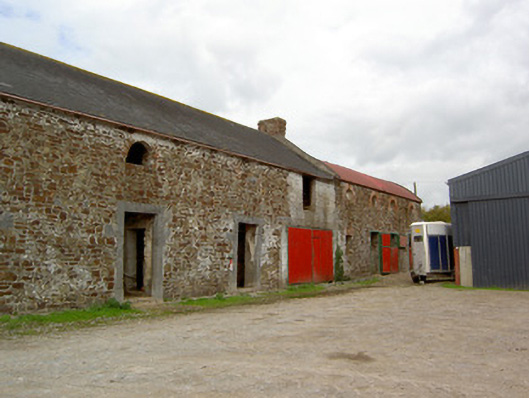 Cooliney Houseoutbuilding · 1.5 mi
 CastleCastle, motte · 1.5 mi
 Ballyhoura WayWalking route · 1.9 mi
 Churchtown TrailsVisitor information · 3.4 mi
 Battle of LiscarrollMajor battlefield · 4.1 mi
 CarrigeenMountain / peak · 4.4 mi
 Buttevant Rail DisasterMemorial · 4.8 mi