
What is recorded here
Situated on grassland immediately W of the River Maigue. W gable of medieval parish church (LI030-064002-) of Anhid stands in W quadrant of sub-rectangular shaped graveyard (approx. dims. 37m N-S x 50m E-W) enclosed by post-1700 stone wall with entrance gate at W end of S wall. Curving bank immediately to E and curving earthwork 28m to N visible on Digital Globe aerial photograph appears to represent the remains of an earlier ecclesiastical enclosure (LI030-064001-). Curving earthwork of dried up stream visible to S and W of graveyard.
Compiled by: Caimin O'Brien
Date of upload: 28 January 2019
The monument record does not grant public access. Check the route and ask the landowner before entering private land.
- What survives
- Recorded monument
Places near here
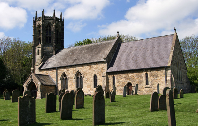 Church (in ruins)Church · 16 yd
 Ecclesiastical enclosure in Anhid EastEcclesiastical enclosure · 28 yd
 Anhid Househouse · 311 yd
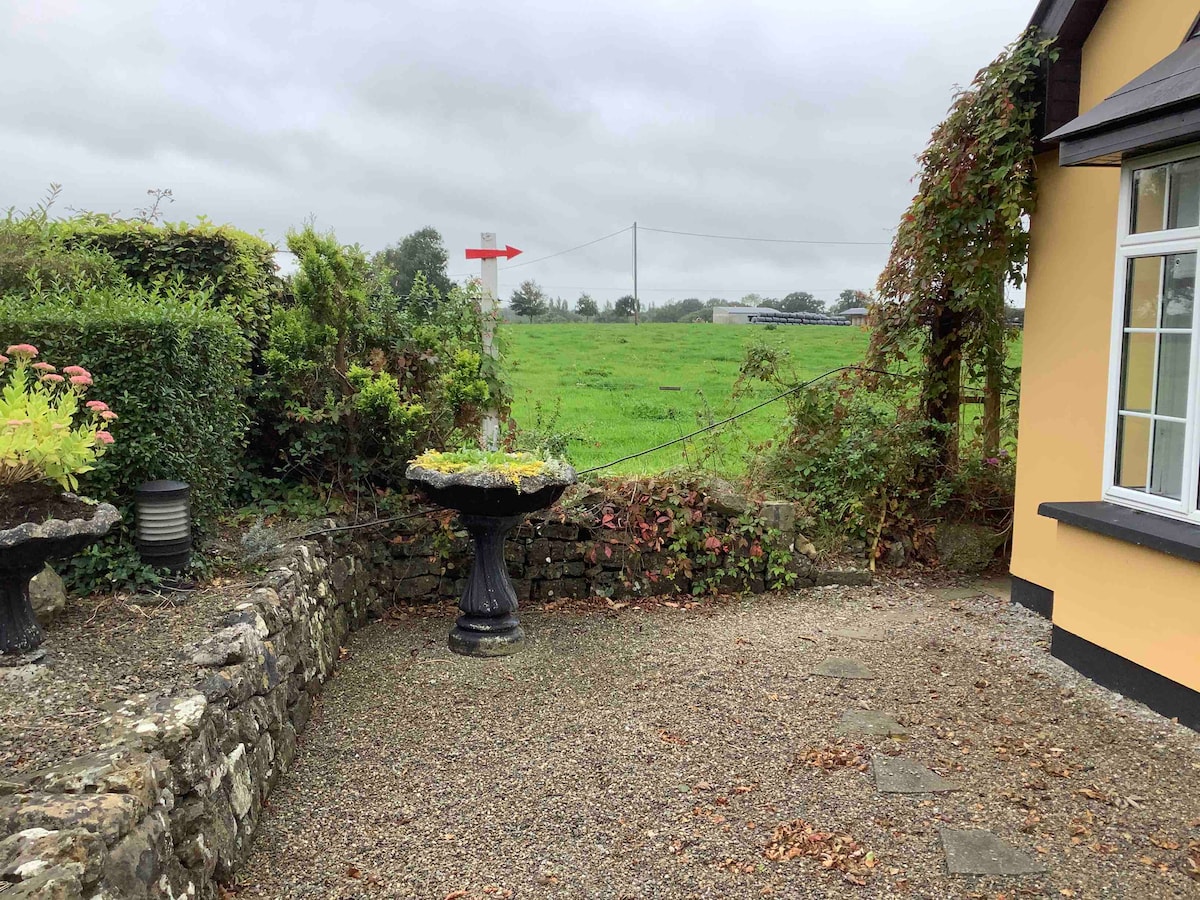 Enclosure in Anhid EastEnclosure · 589 yd
 European ashEuropean ash · 1054 yd
 Bawn in TullovinBawn · 1.0 mi
 CastleCastle, Anglo-Norman masonry castle · 1.1 mi
 Biodiversity in the Maigue CatchmentVisitor information · 1.3 mi
 Dysert AenghusaHeritage attraction · 2.0 mi
 Monasteranenagh AbbeyHeritage attraction · 2.1 mi
 Kinnoor WellSpring · 3.1 mi
 KnockfeerinaMountain / peak · 4.7 mi
Other information
Photo: Credit not shown in the picture search · Rights wording not checked; contact us if this picture should be removed