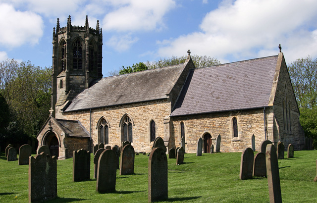
What is recorded here
Westropp (1904-5, 385) recorded the following details about Anhid; 'A Parish and Prebend in Coshmagh. Atnid, 1201; Athnyde, 1291, 1302, and 1418; license to John f. Richard, of Athnyd, to cross the sea, 1297 (C.S.P.L, vol. iv., No. 461) ; Athneady,or Adneady, 1306 (Plea R. 31 of xxv Ed. I.). Fabric - Some ivied fragments of walls stood in 1875. The west end alone appears on the
new maps; near it is Toberregan well [LI030-065----]'.
Compiled by: Caimin O'Brien
Date of upload: 28 January 2019
The monument record does not grant public access. Check the route and ask the landowner before entering private land.
- What survives
- Recorded monument
Places near here
 Anhid Grave YardGraveyard · 16 yd
 Ecclesiastical enclosure in Anhid EastEcclesiastical enclosure · 21 yd
 Anhid Househouse · 295 yd
 Islandmorecountry house · 879 yd
 European ashEuropean ash · 1052 yd
 Bawn in TullovinBawn · 1.1 mi
 CastleCastle, Anglo-Norman masonry castle · 1.1 mi
 Biodiversity in the Maigue CatchmentVisitor information · 1.3 mi
 Dysert AenghusaHeritage attraction · 2.0 mi
 Monasteranenagh AbbeyHeritage attraction · 2.1 mi
 Kinnoor WellSpring · 3.1 mi
 KnockfeerinaMountain / peak · 4.7 mi
Other information
Photo: Credit not shown in the picture search · Rights wording not checked; contact us if this picture should be removed