
What is recorded here
Approaching Ardcarn church (RO006-103001-) from the SW near rath (RO006-149----). Linear feature (L c. 800m, wth 5-10m) defined partly by earthen banks (Wth 3-4m; H 0.5m) running NE and turning N as it proceeds around the base of Ardcarn Hill (L c. 350m), where it meets the road (RO006-106008-), c. 100m E of the church.
See the attached image at the NE end of the road.
Compiled by: Michael Moore
Date of upload: 24 August 2010
The monument record does not grant public access. Check the route and ask the landowner before entering private land.
- What survives
- Recorded monument
Places near here
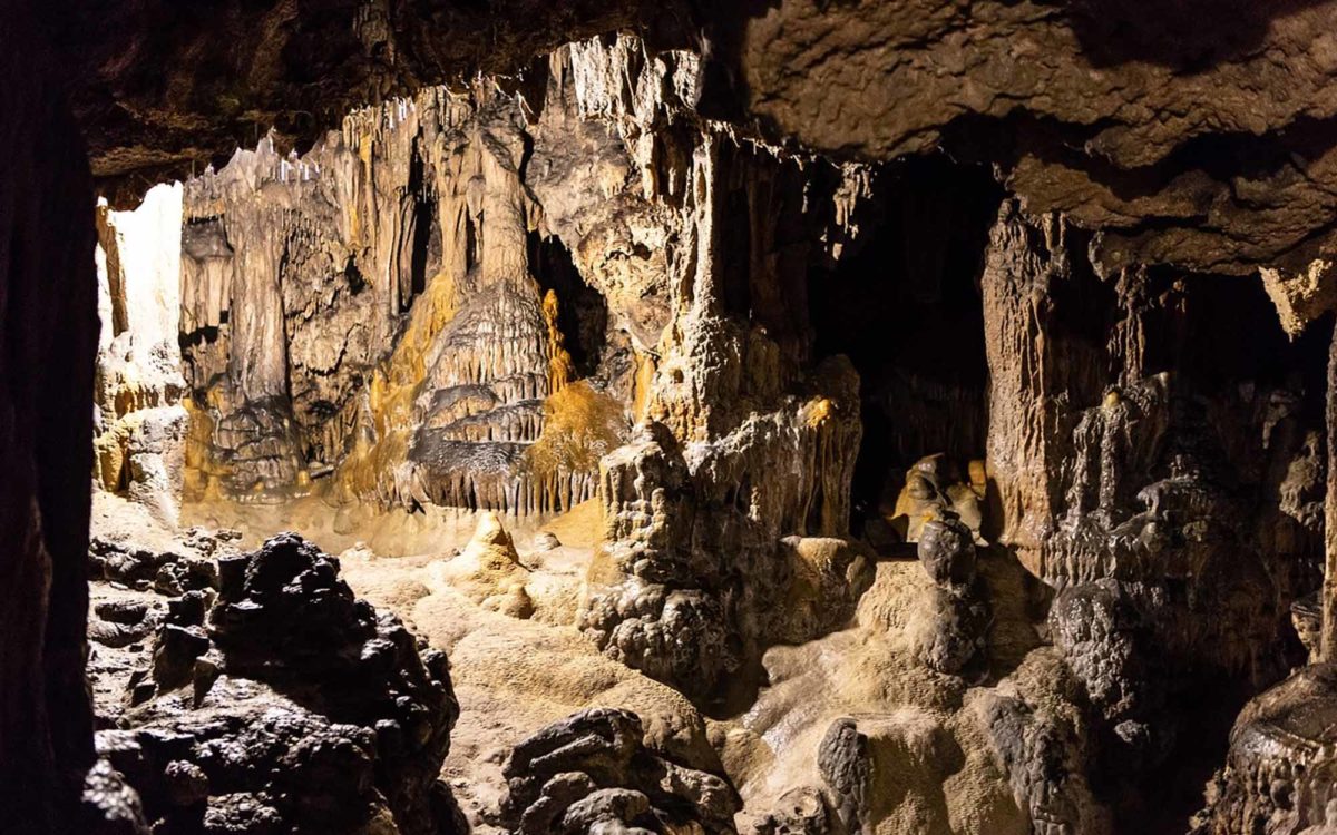 CaveMan-made underground passage · 246 yd
 IndicatedFairy fort / earthen ringfort · 351 yd
 Ardcarn Housecountry house · 532 yd
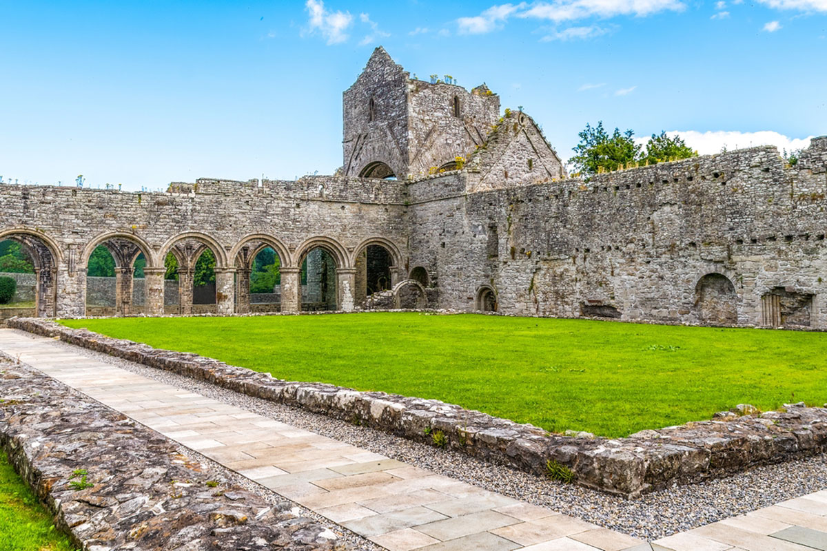 MonasteryReligious house, Augustinian, of Arrouaise nuns · 774 yd
 Longford HillMountain / peak · 1.5 mi
 Lough Key Forest ParkWood · 1.7 mi
 Horse-chestnutHorse-chestnut · 1.8 mi
 Western RedcedarWestern Redcedar · 1.9 mi
 Castle IslandIslet · 2.0 mi
 Moylung Castle (in ruins)Castle, unclassified · 2.1 mi
 Green IslandIslet · 2.1 mi
 Erris BayBay · 2.4 mi
Other information
Photo: Credit not shown in the picture search · Rights wording not checked; contact us if this picture should be removed