What is recorded here
Altore holds a wedge-shaped grave where grass still covers the stones and a narrow door leads into darkness. The chamber hides beneath the mound, reached through a portico and a dividing slab, while orthostats and four facade stones retain the shape on a slight rise. People may have placed the dead inside, then walked away and let the field swallow the entrance. What was buried remains unknown, but the stones still mark the edge of that forgotten choice.
On a slight rise in an undulating landscape. Wedge-shaped grass-covered cairn (dims 12m NE-SW; 4m NW-SE at NE to 6m NW-SE at SW) retained by orthostats on the NW side and four stones from the façade at SW. The façade leads through a portico over a septal slab into the chamber which is concealed by the cairn. (de Valera and Ó Nualláin 1972, 37-8; Timoney 1996a, 9)
This is a National Monument in state ownership: No. 559
See the attached image (023.jpg) taken from the N.
Compiled by: Michael Moore
Date of upload: 24 August 2010
See linked document with details from Ruaidhrí de Valera and Seán Ó Nualláin, Survey of the Megalithic Tombs of Ireland. Volume III. Counties Galway, Roscommon, Leitrim, Longford, Westmeath, Laoighis, Offaly, Kildare, Cavan. (Dublin: Stationery Office, 1972).
Wedge tomb, dating to the Late Neolithic or Early Bronze Age (c. 2500–1500 BCE). Its orientation and construction reflect a regional tradition in Atlantic Europe, particularly characteristic of Ireland and western Britain.
The monument record does not grant public access. Check the route and ask the landowner before entering private land.
- What survives
- Recorded monument
Places near here
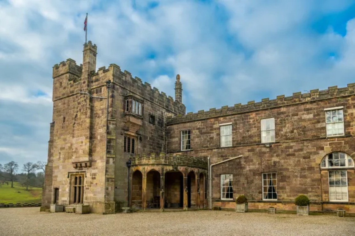 Embanked enclosureFairy fort / earthen ringfort · 660 yd
 IndicatedFairy fort / earthen ringfort · 693 yd
 RoadRoad, road/trackway · 1068 yd
 CastleCastle, unclassified · 1193 yd
 ChapelChurch · 1312 yd
 Slieve DartMountain / peak · 2.7 mi
 Castle in ruinsCastle, unclassified · 4.9 mi
 Site of Killomaine Grave YardArchaeological place · 10 mi
 European ashEuropean ash · 14 mi
 Mass RockNamed rock · 16 mi
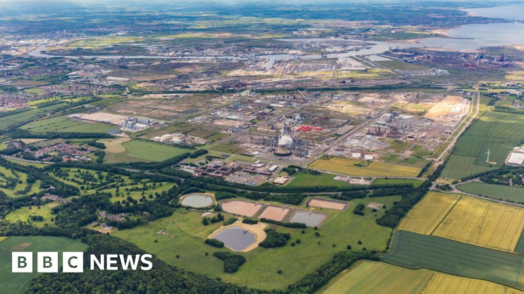 Field system in Barrinagh (castlereagh By.)Field system · 1144 yd
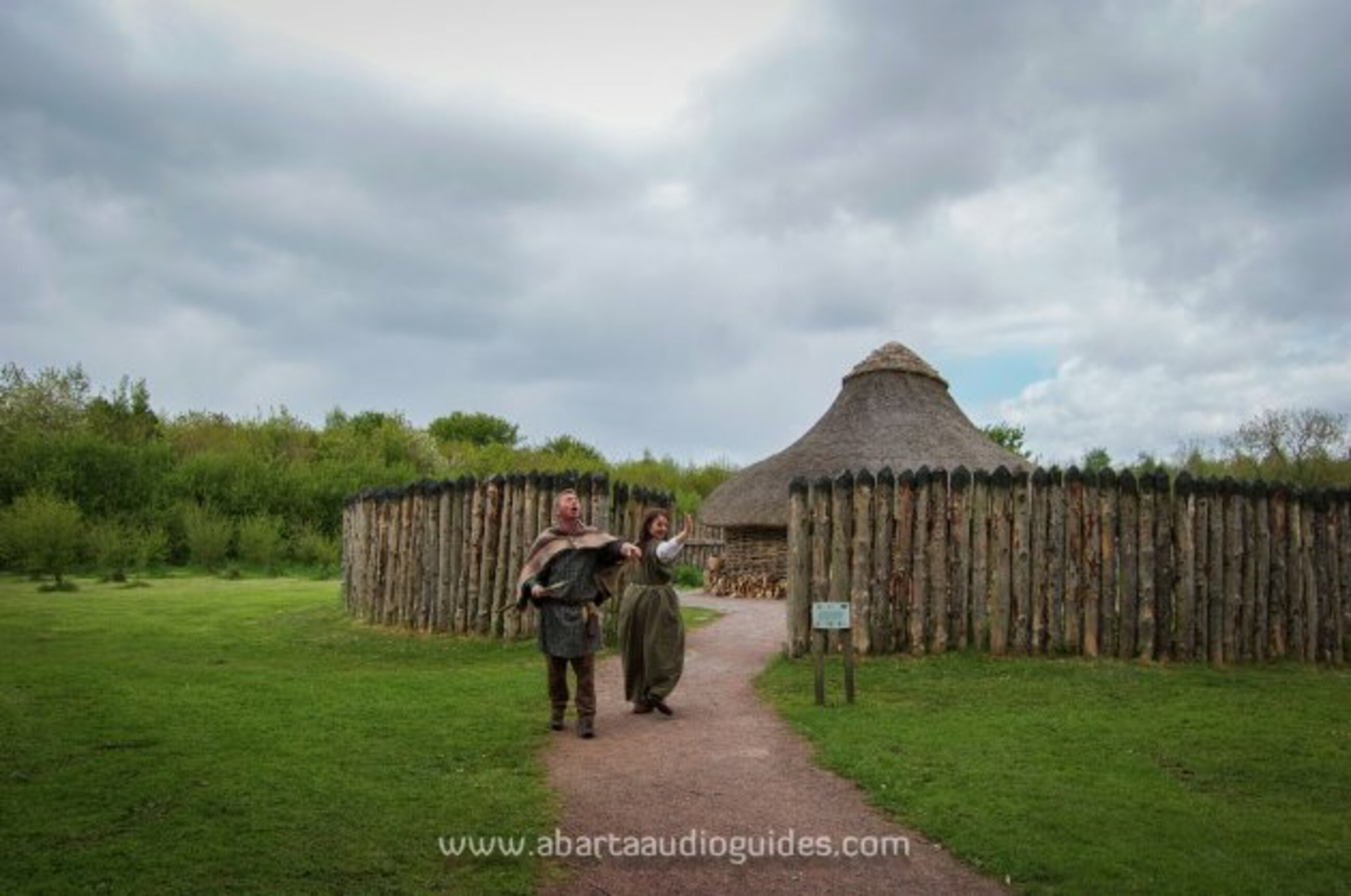 Moanbane FortFairy fort / earthen ringfort · 1391 yd