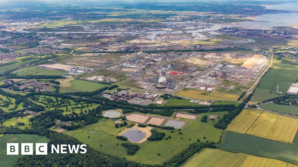
What is recorded here
In a low-lying position NW of barrow (RO032-009001-). Knox (1911, 309, Fig. 4) describes an area of about 4 acres (c. 1.5 ha) which contained rectangular fields, defined by earthen banks and bordered by an NW-SE roadway (RO032-009003-) at NE, close to rath (RO032-008001-). No features are visible now at ground level in pasture.
Compiled by: Michael Moore
Date of upload: 24 August 2010
The monument record does not grant public access. Check the route and ask the landowner before entering private land.
- What survives
- Recorded monument
Places near here
 RoadRoad, road/trackway · 95 yd
 Embanked enclosureFairy fort / earthen ringfort · 712 yd
 Kiltullagh ChurchChurch · 1060 yd
 CastleCastle, unclassified · 1431 yd
 IndicatedFairy fort / earthen ringfort · 1540 yd
 Slieve DartMountain / peak · 2.9 mi
 Castle in ruinsCastle, unclassified · 5.4 mi
 European ashEuropean ash · 14 mi
 Mass RockNamed rock · 16 mi
 Lisheenbantragh FortFairy fort / earthen ringfort · 1682 yd
 ChapelChurch · 1.0 mi
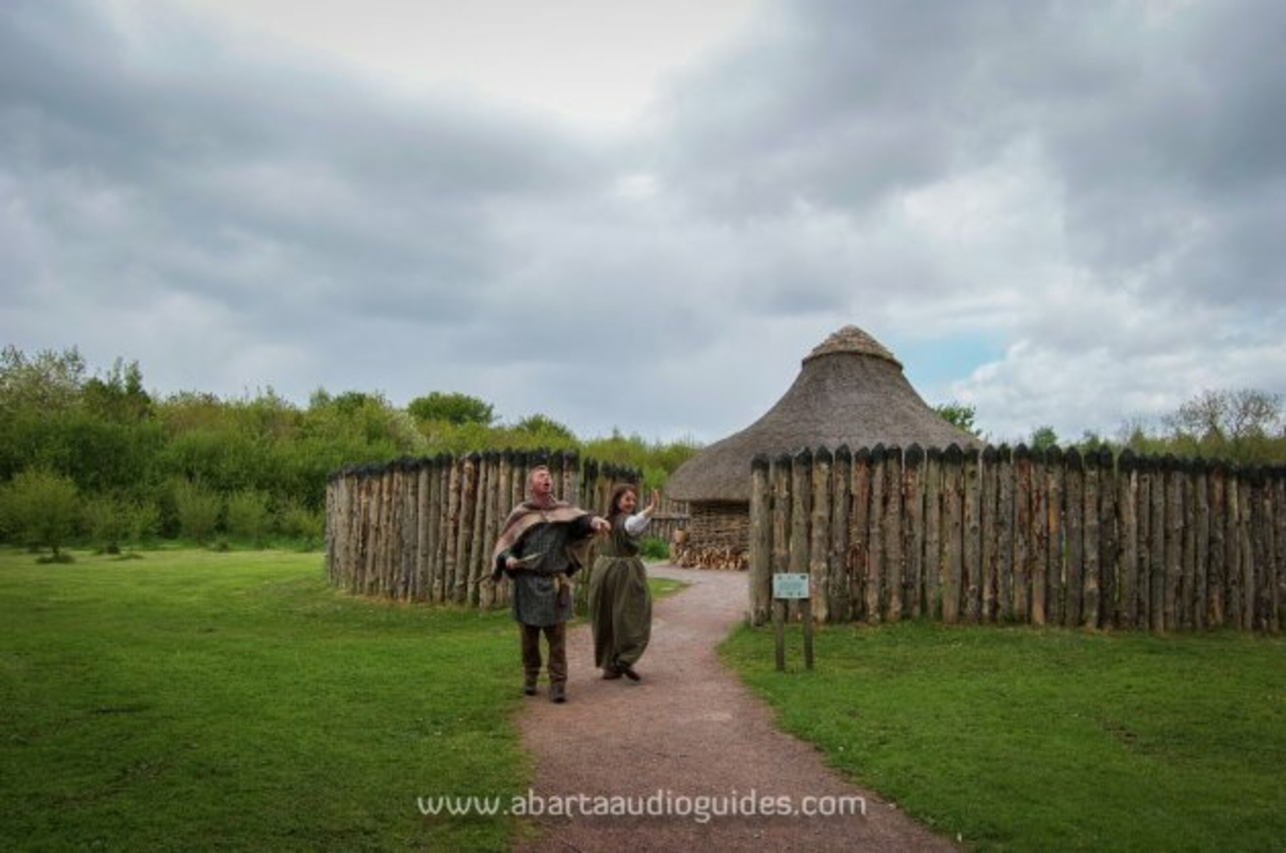 Moanbane FortFairy fort / earthen ringfort · 1.4 mi
Other information
Photo: Credit not shown in the picture search · Rights wording not checked; contact us if this picture should be removed