
What is recorded here
St. Bridgets Well stood two hundred yards south-east of the church in Booliaduff, drawing pilgrims each first of February until the nineteenth century. The water is gone now, reduced to a wet patch in the field, but the ground still remembers the weight of thousands of kneeling bodies and the smell of candle smoke. Bridget did not leave empty; she moved the ceremony into the soil itself, where rain still fills the hole and the field gives back clean water when dug. What was lost is only waiting to be remembered.
Dedicated to St. Bridget. Until the nineteenth century, pilgrims came here on the 1st February (Carrigan 1905, vol. 2, 309). Well indicated by wet patch in the ground.
Described by Carrigan as "St. Bridgets well" was about 200 yards south-east of the church, in the field- formerly townland-known as Booliaduff. It was a holy well, and the scene of many pilgrimages and patterns, down to the beginning of the 19th century. Though destroyed several years ago, its site is still well known' (Carrigan 1905, vol. 2, 309).
The above description is derived from the published 'Archaeological Inventory of County Laois' (Dublin Stationery Office, 1995) compiled by P. David Sweetman, Olive Alcock and Bernie Moran. In certain instances the entries have been revised and updated in the light of recent research.
Date of upload: 17 December 2007
St. Bridget's Well is associated with the Gaelic goddess Brigid, later Christianized as St. Brigid of Kildare, and was historically visited by pilgrims on 1st February, the traditional feast day of the saint. The well was likely believed to have healing properties, particularly for women's ailments and fertility, reflecting the saint's patronage over childbirth and the arts.
The monument record does not grant public access. Check the route and ask the landowner before entering private land.
- What survives
- Recorded monument
Places near here
 Enclosure in LisdowneyEnclosure · 564 yd
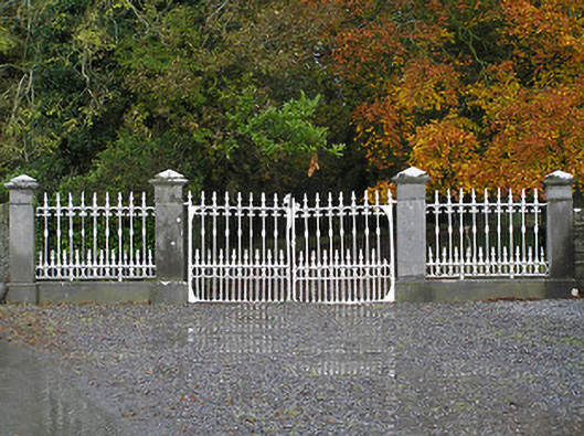 Seskin Housegates/railings/walls · 1185 yd
 IndicatedFairy fort / earthen ringfort · 1295 yd
 CastleCastle, unclassified · 1351 yd
 Saint Brigid's Catholic Churchchurch/chapel · 1738 yd
 Mountgarret Castle (in ruins)Castle, unclassified · 1.0 mi
 Anker's IslandIsland · 2.3 mi
 Street fieldArchaeological place · 4.6 mi
 Big WoodWood · 5.3 mi
 Clomantagh HillMountain / peak · 5.9 mi
 DelaneyMemorial · 7.1 mi
 Cnoc SeanrathaMemorial · 7.6 mi
Other information
Photo: A.-K. D. · CC0