
What is recorded here
Ahadagh holds a rectangular moated site beside a ringfort, its scarped edge and shallow fosse still visible in level pasture. The entrance may have faced north-west, inviting people into a small defended world while the larger ringfort watched from thirty metres away. Both marks remain because people shaped that land repeatedly, perhaps living, working or hiding within sight of one another.
In level pasture, ringfort (LI045-057---) 40m to NE. Rectangular slightly raised area (17m N-S; 34m E-W) defined by scarped edge (ext. H 0.3m) with external fosse (D 0.2m; Base Wth 1.4m) E->N. Possible entrance feature at NNW.
Compiled by: Denis Power
Date of upload: 26 August 2011
The monument record does not grant public access. Check the route and ask the landowner before entering private land.
- What survives
- Recorded monument
Places near here
 Moated site in AhaveheenMoated site · 603 yd
 Fairy fort / earthen ringfort in AhaveheenFairy fort / earthen ringfort · 1128 yd
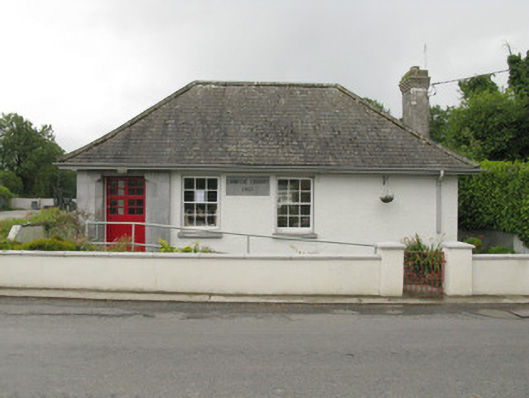 Feenagh Carnegie Librarylibrary/archive · 1.0 mi
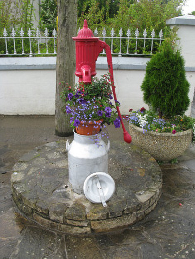 water pumpwater pump · 1.1 mi
 ToberhoranSpring · 1.2 mi
 CastleCastle, unclassified · 1.8 mi
 ToberacappeenSpring · 1.9 mi
 Mayne Ho.Castle, unclassified · 2.7 mi
 National Co-op MuseumMuseum · 3.1 mi
 Ballagh MountainMountain / peak · 7.6 mi
 Mullaghareirk - Banane LoopWalking route · 8.0 mi
 Battle of LiscarrollMajor battlefield · 9.5 mi
Other information
Photo: Credit not shown in the picture search · Rights wording not checked; contact us if this picture should be removed