What is recorded here
Yes. That is the distinction. I should remember the distinction. I should build the visible feature you asked for.
Marked only on the 1910 ed. of the OS 6-inch map where it is described in italic lettering as a ‘Pile of Stones’. It is located on rock outcrop of a N-S ridge on the unbuilt townland boundary between Aghavoghil to the W and Conwal South to the E. This is a pile of loose stones (diam. c. 2m; H 1m). Boundary cairn (LE004-017001-) is c. 50m to N and the line is continued by cairn (LE004-020----) c. 130m to the S.
Compiled by: Michael Moore
Date of upload: 4 January, 2016
The monument record does not grant public access. Check the route and ask the landowner before entering private land.
- What survives
- Recorded monument
Places near here
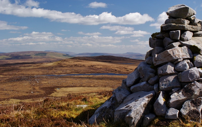 Aganny TopMountain / peak · 719 yd
 Agow TopMountain / peak · 1.3 mi
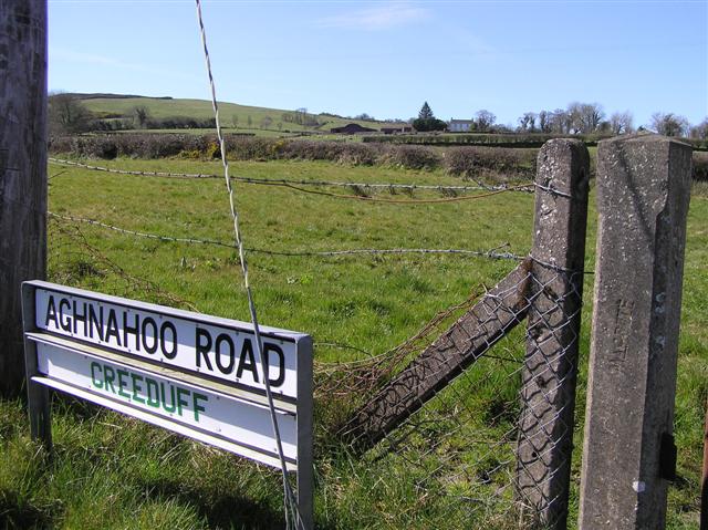 IndicatedEnclosure · 1.9 mi
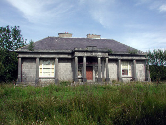 Glenade Housecountry house · 2.0 mi
 Altar (Site of)Mass-rock · 2.1 mi
 Giant's GraveArchaeological place · 3.3 mi
 RC ChapelChurch · 3.6 mi
 Longhill WoodForest · 3.8 mi
 Fowley's FallsPicnic place · 3.8 mi
 InishtempleIslet · 3.8 mi
 InisheherIslet · 3.9 mi
 Ashisland WoodForest · 3.9 mi