What is recorded here
In level tillage. Visible on aerial photographs (CUCAP BDH 69 (1970) and BOC 61 (1973)) as the cropmark of a fosse defining a fairly large angular area (est. c 70m E-W; c. 40m N-S), with straight N, E and S sides, but the W-end carrying W, beyond the rectangular portion of the site and ending in a point. Internally, to E of centre, the cropmark of a fosse can also be seen defining a small subrectangular area, possibly a dwelling? The cropmark of another levelled enclosure (KD035-033----), nearby to the NW, is also visible on there aerial photographs.
Compiled by: Gearóid Conroy
Date of upload: 28 November 2013
The monument record does not grant public access. Check the route and ask the landowner before entering private land.
- What survives
- Recorded monument
Places near here
 Enclosure in AghanureEnclosure · 452 yd
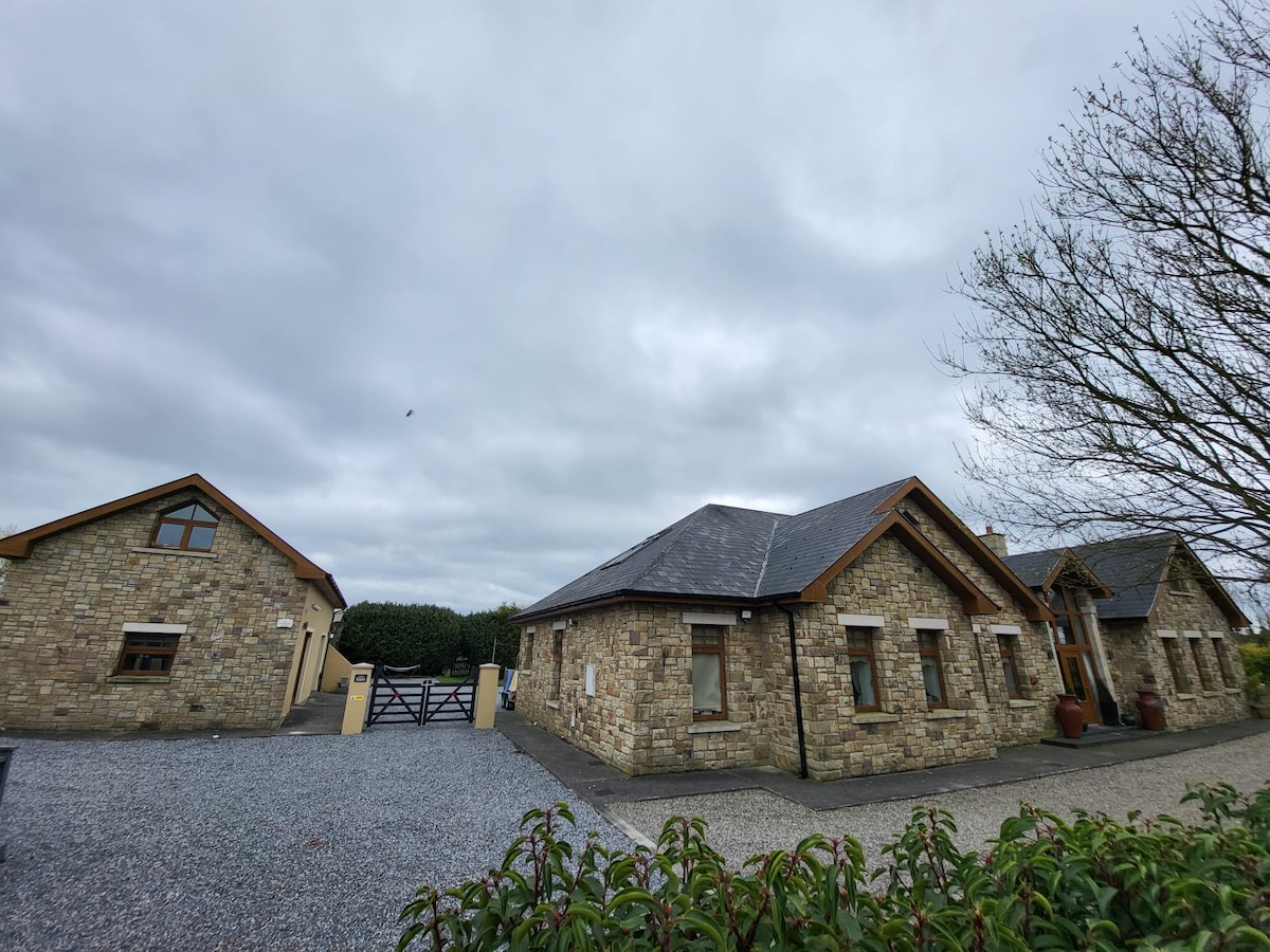 Font in Russellstown (athy Rural Ed)Font · 767 yd
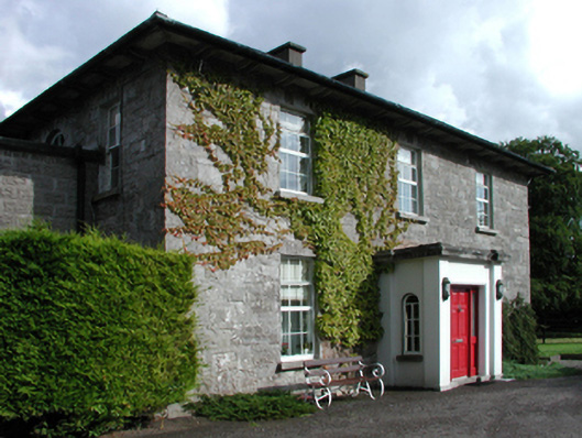 Russellstown Housefarm house · 847 yd
 Scots PineScots Pine · 1129 yd
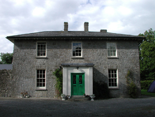 Ardmore Housefarm house · 1154 yd
 European BeechEuropean Beech · 1718 yd
 History of Moat of ArdscullVisitor information · 1728 yd
 Gorden Bennet Race memorialMemorial · 1734 yd
 Ardscull MoatCastle, motte · 1.0 mi
 Inch CastleCastle, tower house · 1.5 mi
 Athy War MemorialMemorial · 2.3 mi
 Town HallMuseum · 2.6 mi