What is recorded here
Arroo peak looms east of a west-facing pasture slope where an old field boundary still cuts through grass. The wall runs southwest from a nearby enclosure, marking human ownership long before modern fences. It is easy to imagine people walking this line at dawn, reading the terrain rather than waiting for surveyors to draw it.
In pasture on the W-facing slope of a steep hill but below the steep incline of Arroo peak which rises over the location to the E. There is a mention of an old field wall (deValera and Ó Nualláin 1972, 49-50) running SW from the enclosure (LE003-002001-) E of the wedge tomb (LE003-001001-).
Compiled by: Michael Moore
Date of upload: 22 December, 2015
The monument record does not grant public access. Check the route and ask the landowner before entering private land.
- What survives
- Recorded monument
Places near here
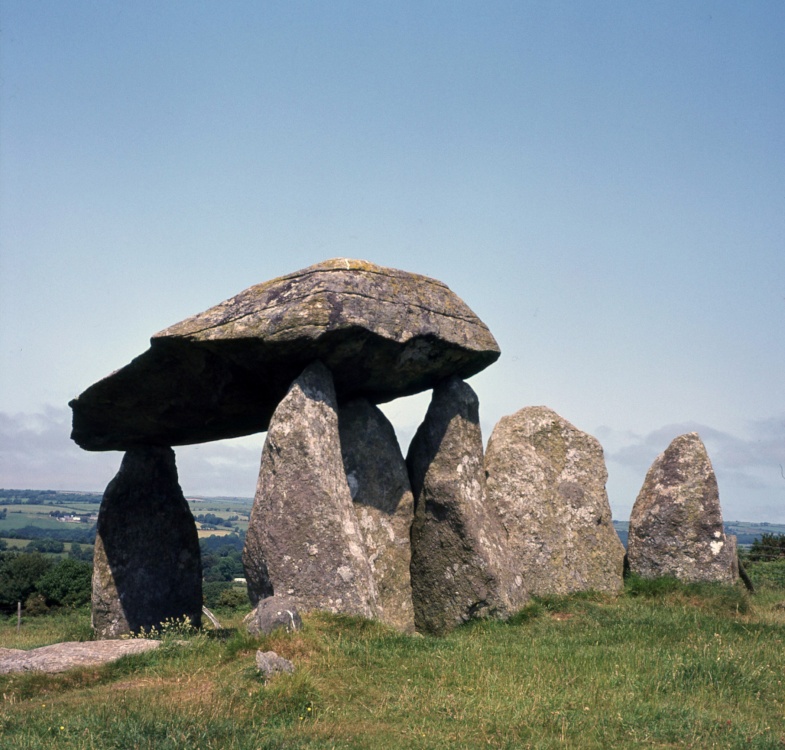 CromlechArchaeological place · 10 yd
 Church in Drummans (rosclogher By., Aghanlish Ed)Church · 1628 yd
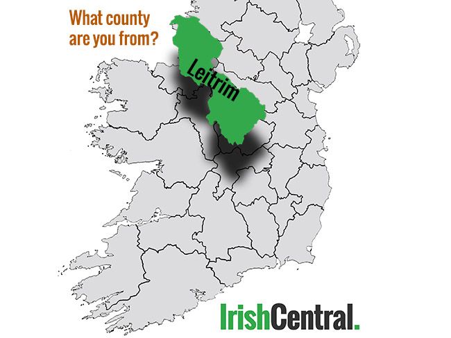 IndicatedFairy fort / earthen ringfort · 1710 yd
 Arroo MountainMountain / peak · 1.6 mi
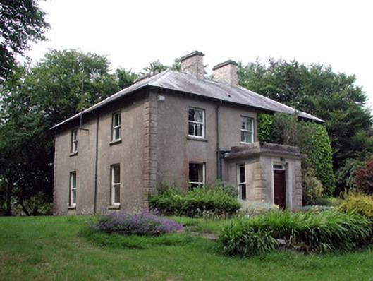 The Old Rectoryrectory/glebe/vicarage/curate's house · 1.7 mi
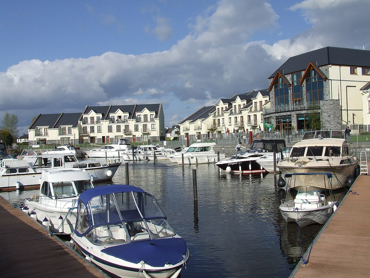 AghalateeveMountain / peak · 2.3 mi
 CastleCastle, tower house · 2.8 mi
 Cormac Reagh's HoleCave · 3.0 mi
 Eagle's RockMountain / peak · 3.1 mi
 Lareen BayBay · 3.4 mi
 Rosfriar PointHeadland · 3.5 mi
 Bawn in DuncarbryBawn · 3.5 mi