What is recorded here
Fairy fort / ringfort in Adamstown (moycashel By.) is a fairy fort or ringfort in Adamstown (moycashel By.), County Westmeath, Ireland. Situated on a low rise in wet and marshy pasture with a stream valley to the south, the site features a raised roughly oval-shaped mound obscured by dense overgrowth in places. Large boulders and traces of rock outcrop surround the top and sides of the mound, while remnants of an enclosure may represent a ringfort levelled in antiquity. The northeast side of the mound has been scarped with a segment of a visible fosse at its base, and a man-made underground passage lies on the south side.
Situated on a low rise, in wet and marshy pasture. There is a valley of a stream to S. Monument described as a raised roughly oval-shaped mound, which is obscured by dense overgrowth in places. There are a number of large boulders and traces of rock outcrop around the top and sides of the mound. There are remnants of what may have been an enclosure around this mound, perhaps representing a ringfort which was levelled in antiquity. The NE side of the mound has been scarped and a segment of fosse is visible at its base. This appears to run into an old field fence at SE. A Man-made underground passage (WM025-134002-) is in the S side of the mound.
Compiled by Alison McQueen, Vera Rahilly and Caimin O’Brien.
Date of upload: 24 September 2019
The monument record does not grant public access. Check the route and ask the landowner before entering private land.
- What survives
- Recorded monument
Places near here
 Man-made underground passage in Adamstown (moycashel By.)Man-made underground passage · 7 yd
 Adamstown Castle (in Ruins)Castle, tower house · 128 yd
 bridgebridge · 853 yd
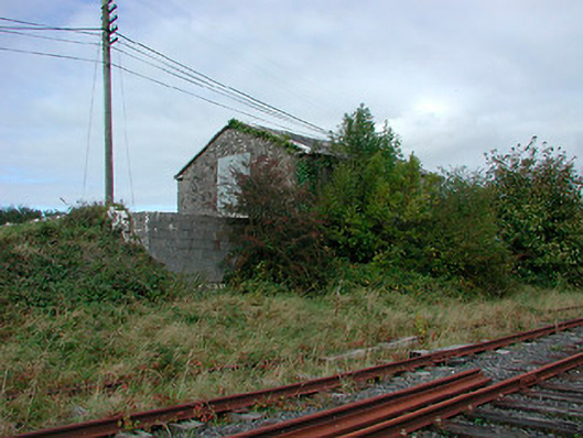 Castletown Railway Stationstore/warehouse · 860 yd
 Ecclesiastical enclosure in Adamstown (moycashel By.)Ecclesiastical enclosure · 904 yd
 Rathdrishoge CastleCastle, unclassified · 1128 yd
 Hill of UisneachMountain / peak · 3.2 mi
 European ashEuropean ash · 3.6 mi
 Sam's ParkForest · 3.6 mi
 KnockastiaMountain / peak · 5.1 mi
 St. Columba's WellSpring · 8.8 mi
 Moate HillMountain / peak · 9.6 mi