What is recorded here
Grave Yard in County Laois holds a ruined church on its highest eastern point, marked on maps as Foy Church before becoming only a site. The irregular burial ground measures forty-one by fifty-one metres inside a nineteenth-century stone wall, while a simple cross-slab sits fifty metres away in a roadside ditch. Dead people may have walked this place for centuries, giving it shape long before surveyors drew its lines.
Marked on 1841 edition of the OS 6-inch map as 'Foy Church (in Ruins)' but on 1910 edition as 'Site of'. Church (LA008-008-) located on top of the highest part of the E quadrant of the graveyard. Irregular shaped graveyard (int. dims. 41m E-W; 51m N-S) defined by a 19th century stone wall. Simple incised cross-slab (LA008-008002-) located 50m to NE in roadside ditch opposite entrance to graveyard (JKAS 1904, Vol. IV, 193).
Compiled by: Caimin O'Brien
Date of upload: 17 December 2007
The monument record does not grant public access. Check the route and ask the landowner before entering private land.
- What survives
- Recorded monument
Places near here
 Ivy Church (Site of)Church · 17 yd
 Enclosure in AcragarEnclosure · 290 yd
 Friary (in Ruins) GraveyardReligious house, unclassified · 1.1 mi
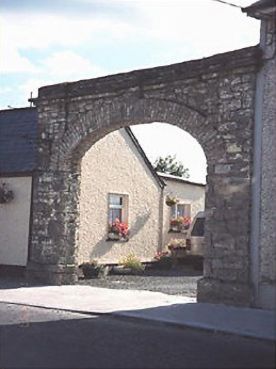 Hibernia Foundrybuilding misc · 1.4 mi
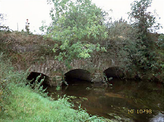 aqueductaqueduct · 1.4 mi
 Tinnakill Castle (in Ruins)Castle, tower house · 3.0 mi
 Clonreher CastleCastle · 3.1 mi
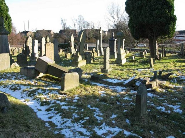 Church (in Ruins), GraveyardChurch · 3.2 mi
 Derryisheen WoodWood · 3.4 mi
 Pedunculate OakPedunculate Oak · 4.4 mi
 Emo CourtHeritage attraction · 4.4 mi
 Rock of DunamaseCastle · 5.9 mi