What is recorded here
In pasture, on a NE-facing slope just below the summit of a rise. A circular mound (diam. at base: 10.4m N-S, 10.2m E-W; H 0.25m) surrounded by a fosse (Wth c. 3m; D 0.05m). A possible external bank is visible in an aerial photograph (IASAP, 3033155-6) but not at ground level.
The above description is derived from the published 'Archaeological Inventory of County Sligo' compiled by Ursula Egan, Elizabeth Byrne, Mary Sleeman with Sheila Ronan and Connie Murphy (Dublin Stationery Office, 2005).
Date of upload: 18 January 2008
Ring-barrow, likely dating to the Early Bronze Age. This type of tomb is significant as it reflects early communal burial practices and social organisation in prehistoric Ireland.
The monument record does not grant public access. Check the route and ask the landowner before entering private land.
- What survives
- Recorded monument
Places near here
 Hut site in AchonryHut site · 844 yd
 Indicated (1838).Fairy fort / earthen ringfort · 1102 yd
 Muckelty HillMountain / peak · 1392 yd
 AbbeyChurch · 1.0 mi
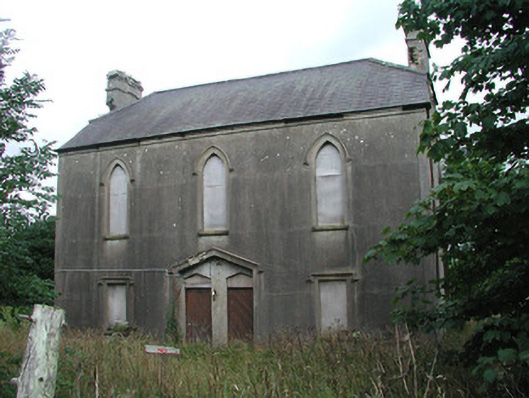 Achonry Parochial Hallchurch hall/parish hall · 1.0 mi
 CastleCastle, unclassified · 2.1 mi
 KnocknasheeMountain / peak · 3.2 mi
 Ballyara Castle (in Ruins)Castle, unclassified · 3.6 mi
 European ashEuropean ash · 4.6 mi
 ElderElder · 4.6 mi
 Old Cave Burial GroundArchaeological place · 5.9 mi
 Caves of KeshCave · 9.3 mi