What is recorded here
In pasture, on a bog island. A D-shaped area (dims. 15.7m N-S; 12.2m E-W) defined by the grass and moss-covered foundations of a drystone wall (max. Wth 2.75m; max. H 0.55m), except along the SE arc. There are the remains of a D-shaped compartmented structure (dims. 6.6m N-S; 4.5m E-W) in the SW corner of the interior. Indicated as a hachured circular raised area (diam. c. 10m) on the 1914 OS 6-inch map. A rath (SL032-152----) lies c. 15m to ENE in the adjoining field.
The above description is derived from the published 'Archaeological Inventory of County Sligo' compiled by Ursula Egan, Elizabeth Byrne, Mary Sleeman with Sheila Ronan and Connie Murphy (Dublin Stationery Office, 2005).
Date of upload: 18 January 2008
The monument record does not grant public access. Check the route and ask the landowner before entering private land.
- What survives
- Recorded monument
Places near here
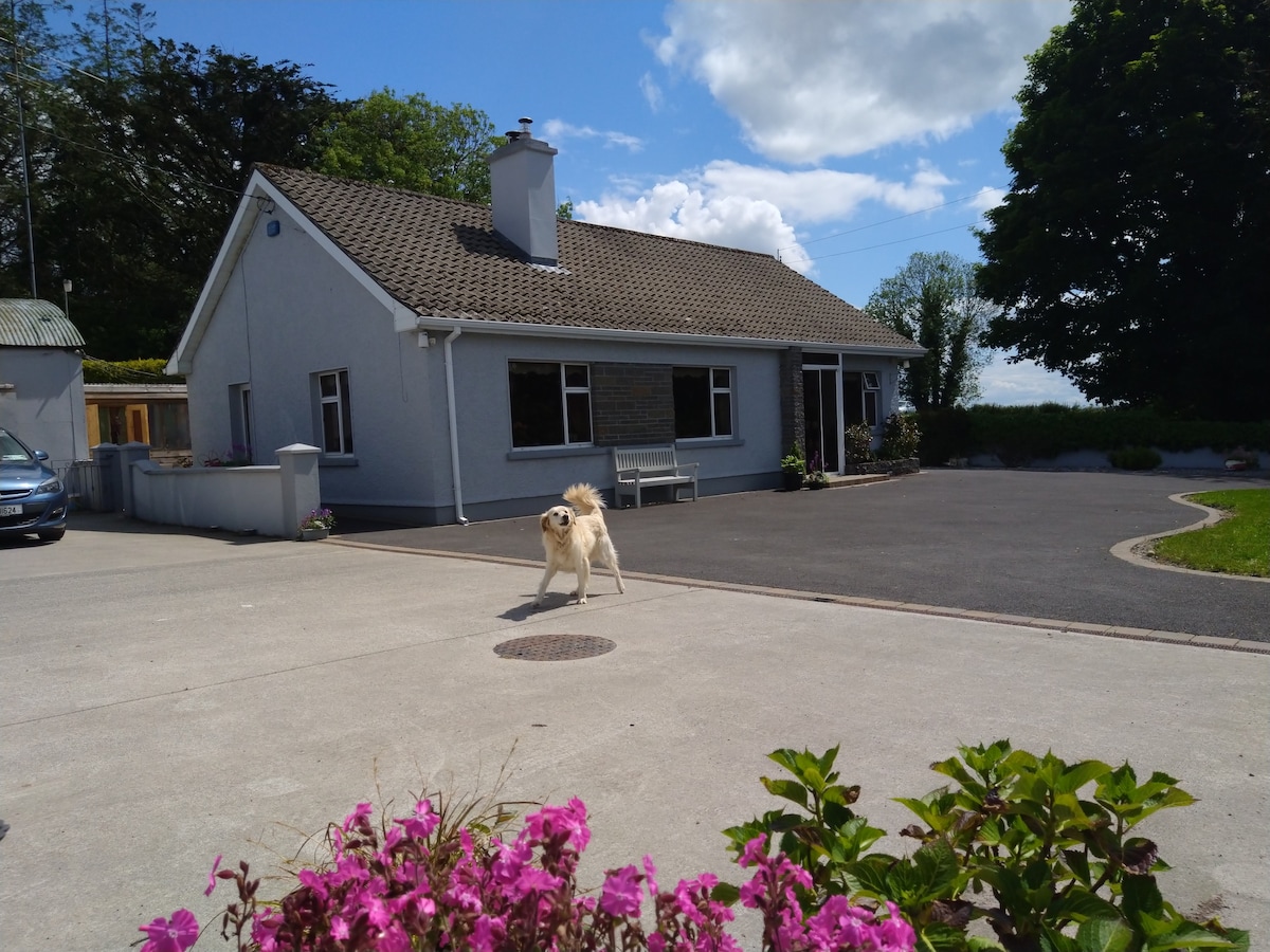 IndicatedFairy fort / earthen ringfort · 553 yd
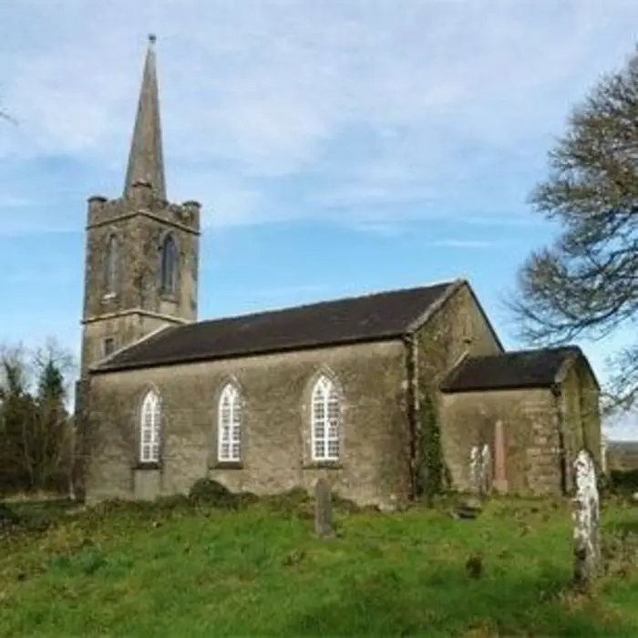 Enclosure in AchonryEnclosure · 703 yd
 AbbeyChurch · 1208 yd
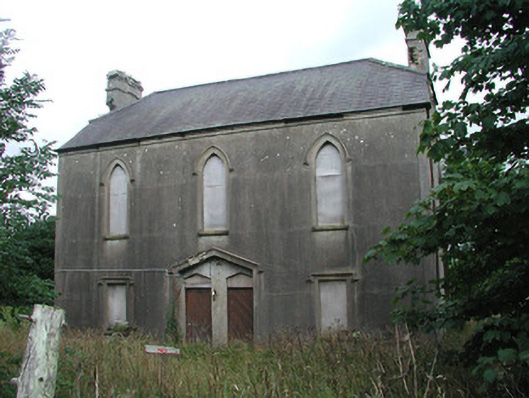 Achonry Parochial Hallchurch hall/parish hall · 1222 yd
 CastleCastle, unclassified · 1229 yd
 Muckelty HillMountain / peak · 1.7 mi
 KnocknasheeMountain / peak · 2.4 mi
 Castle (in Ruins)Castle, tower house · 2.9 mi
 European ashEuropean ash · 3.2 mi
 ElderElder · 3.2 mi
 Old Cave Burial GroundArchaeological place · 7.1 mi
 Caves of KeshCave · 8.5 mi