
What is recorded here
Two-arch road bridge over river, extant 1838[?]. Tuck pointed tooled limestone ashlar walls centred on tooled limestone ashlar triangular cutwater to pier to upriver (north-east) elevation having tooled cut-limestone pyramidal capping with drag edged tooled cut-limestone stringcourses supporting benchmark-inscribed parapets having rock faced cut-limestone coping. Pair of round or segmental arches with drag edged tooled limestone ashlar voussoirs centred on drag edged tooled cut-limestone keystones. Sited spanning Dalgan River with concrete block retaining walls to river.
A bridge representing an integral component of the early nineteenth-century civil engineering heritage of Ballyhaunis with the architectural value of the composition confirmed not only by the construction in a "sparrow pecked" limestone demonstrating exemplary workmanship, but also by the elegant "sweep" of the arches making a pleasing visual statement at a crossing over the Dalgan River: meanwhile, a benchmark remains of additional interest for the connections with cartography and the preparation of maps by the Ordnance Survey (established 1824).
This does not grant access. Most recorded buildings are privately owned; view them only from public ground unless the owner allows entry.
Places near here
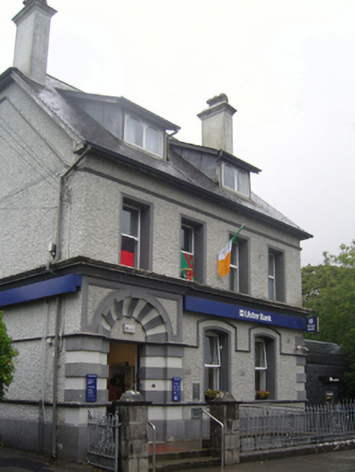 Ulster Bankbank/financial institution · 21 yd
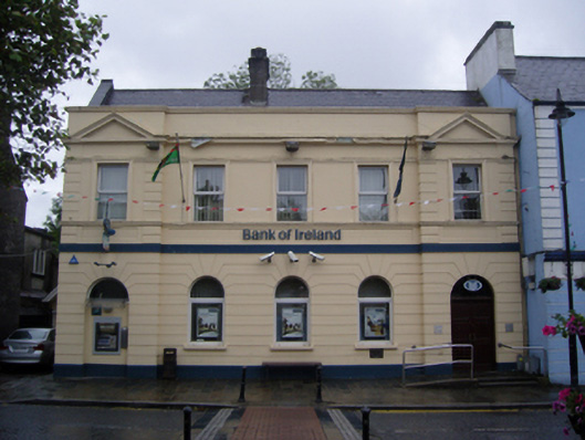 Bank of Irelandbank/financial institution · 128 yd
 Enclosure in DevlisEnclosure · 963 yd
 Enclosure in KilmanninEnclosure · 1092 yd
 CastleCastle, unclassified · 2.4 mi
 Ballybooley CastleCastle · 7.4 mi
 Oak WoodForest · 10 mi
 Land of the GiantsHeritage attraction · 10 mi
 Geoffrey's WoodForest · 11 mi
 Site of Killomaine Grave YardArchaeological place · 15 mi
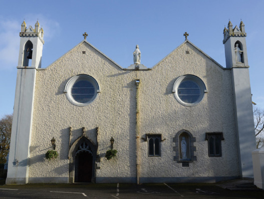 Saint Mary's Catholic Churchchurch/chapel · 140 yd
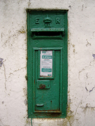 post boxpost box · 148 yd
Other information
Photo: National Inventory of Architectural Heritage · Website use allowed for educational or private purposes with source credit