What is recorded here
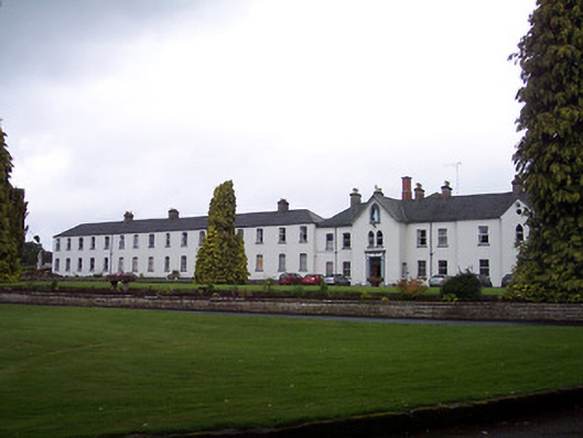
Extensive complex of two-storey buildings, originally built c.1880 as a Franciscan Friary on site of the original medieval cloisters of Multyfarnham Abbey. Later in use as a secondary school until c.1956 when converted to use as an agricultural college. Now partially in use as a Franciscan Friary. Comprises two main blocks. Block to south consists of a nine-bay two-storey building with two gable-fronted breakfronts, c.1880, with a sixteen-bay two-storey block to north, c.1900. Hipped and pitched natural slate roofs with clay ridge tiles, cast-iron rainwater goods and rendered chimneystacks. Smooth rendered walls with ruled-and-lined finish to northern block. Square-headed window openings with replacement windows, pointed arch-headed openings to projecting breakfronts to south block. Main entrance to north breakfront on south building with a square-headed opening, timber double-doors with leaded overlight above, surrounded by rendered surround comprising pilasters on square plan with console brackets supporting overhanging canopy porch. Statue of Virgin Mary above to gable in pointed arch-headed niche. Set back from road in mature landscaped grounds adjoining friary church to south and two-storey ranges of buildings with timber sliding sash windows to east arranged around central courtyard.
A plain but attractive group of buildings which retains their original form and character. This complex was built on the site of the original Multyfarnham Abbey cloisters, which were burnt during raids on the Franciscan community by English authorities in the fifteenth and sixteenth centuries. It is possible that the present structures incorporate some of this earlier fabric. The building to the south is very typical of the many convents/monasteries built by the Roman Catholic church in Ireland during the late nineteenth and early-twentieth centuries. These buildings remain an important part of the friary complex and are appealing large-scale buildings in their own right.
This does not grant access. Most recorded buildings are privately owned; view them only from public ground unless the owner allows entry.
Places near here
 Bridge Memorial (Kenna)Memorial · 148 yd
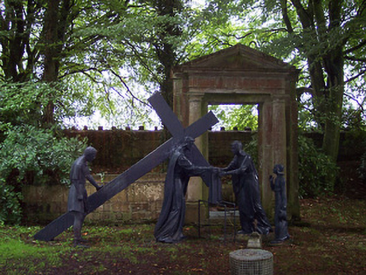 The Abbeybuilding misc · 185 yd
 ConventEcclesiastical site · 281 yd
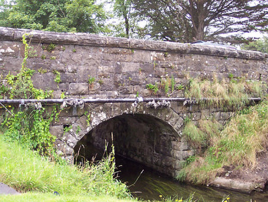 bridgebridge · 465 yd
 Partially indicatedCastle, motte · 544 yd
 CastleCastle, unclassified · 821 yd
 Partially outlinedFairy fort / ringfort · 1370 yd
 Scragh Bog Nature ReserveNature reserve · 3.6 mi
 Church IslandIsland · 4.2 mi
 Carrickphilbin IslandIslet · 4.4 mi
 European BeechEuropean Beech · 4.7 mi
 Seafin HillMountain / peak · 10 mi
Other information
Photo: National Inventory of Architectural Heritage · Website use allowed for educational or private purposes with source credit