What is recorded here
The official Northern Ireland record identifies this as A.P. SITE. Recorded period: UNCERTAIN. The official map point was placed at the centre of the recorded archaeological site from the source map reference.
The monument record does not grant public access. Check the route and ask the landowner before entering private land.
- What survives
- Recorded monument
Places near here
 ENCLOSURE in BallywillinENCLOSURE · 1175 yd
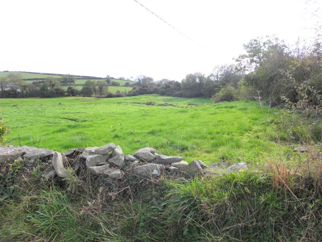 Wallace HillMountain / peak · 1.4 mi
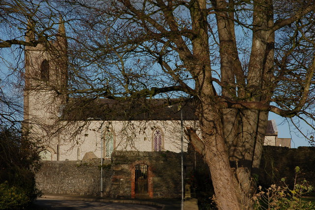 CHURCH (site of) in Killinchy In THE WoodsCHURCH (site of) · 1.8 mi
 ShrigleyVisitor information · 1.9 mi
 CASTLE: CASTLE WILLIAM in CorporationCASTLE: CASTLE WILLIAM · 2.1 mi
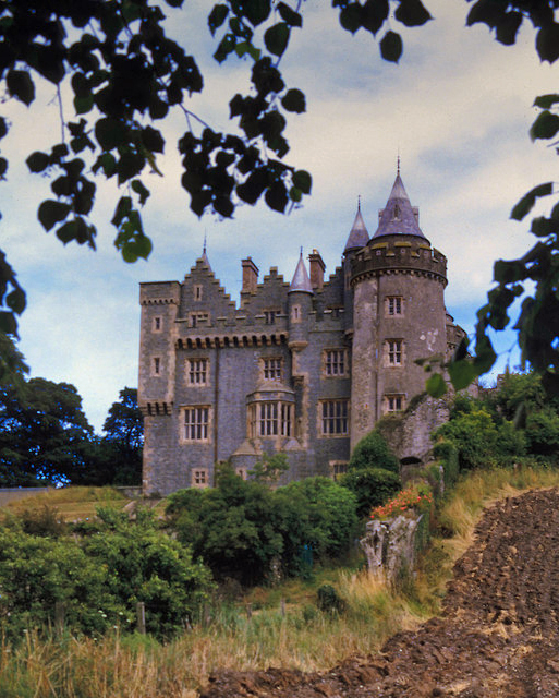 KILLYLEAGH CASTLEKILLYLEAGH CASTLE, multiperiod castle on site of Motte · 2.1 mi
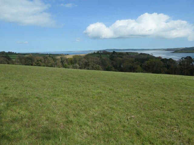 Nut WoodWood · 2.1 mi
 First Presbyterian ChurchChurch · 2.1 mi
 Former market houseOffice · 2.1 mi
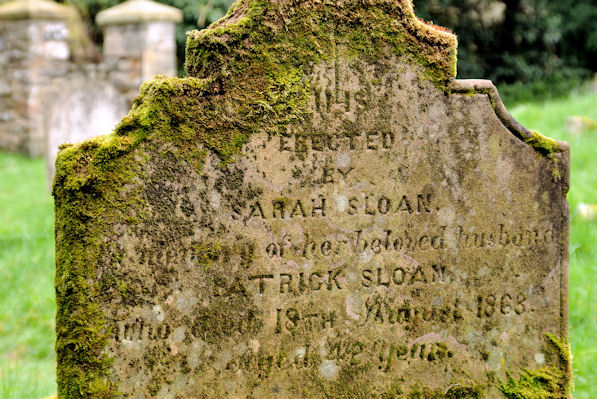 KILLOWEN MEDIEVAL CHURCH (ruined) and GRAVEYARD; with 2 CROSS-CARVED STONES in Corporation (killyleagh)KILLOWEN MEDIEVAL CHURCH (ruined) and GRAVEYARD; with 2 CROSS-CARVED STONES · 2.1 mi
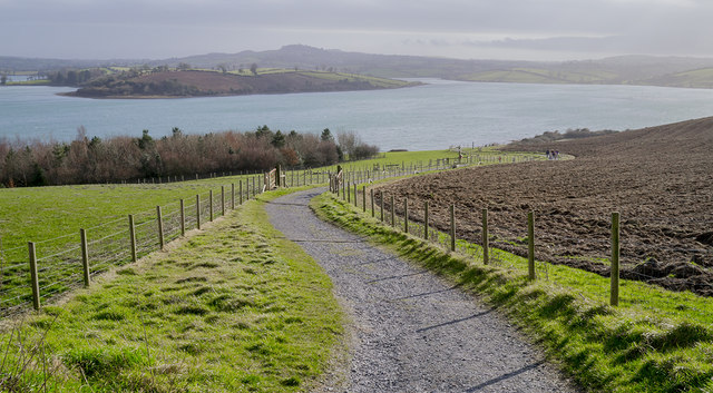 Delamont Country ParkVisitor information · 2.2 mi
 Strangford WalkWalking route · 2.2 mi