What is recorded here
Twenty-four metres beneath County Down, a shadow the size of a small room waits in the dark. It may be a drowned chamber, a broken hull, or a stone ledge pretending to be a chamber. The sea keeps the difference private.
The official Northern Ireland wreck record identifies Recorded wreck SWR299 as Unknown (obstruction?). It was lost in Unknown. Recorded depth: 24m. Recorded condition: 4x5x1m sonar anomaly.
A wreck point does not grant access or permission to dive, enter land, disturb the site or recover anything. Check current law and local conditions first.
Places near here
 Sandy IslandIslet · 768 yd
 Strangford Presbyterian ChurchChurch · 985 yd
 Swan IslandIslet · 1027 yd
 STONE QUAY in Strangford LowerSTONE QUAY · 1061 yd
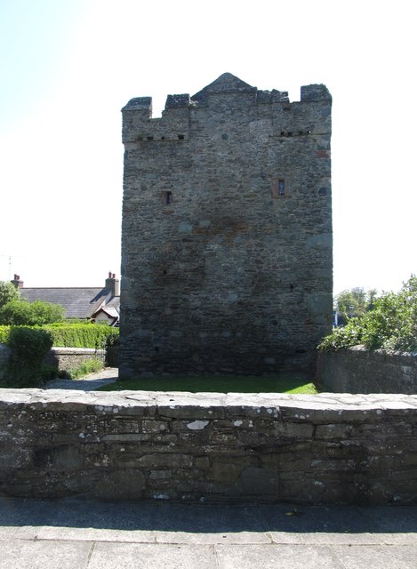 Strangford CastleCastle · 1085 yd
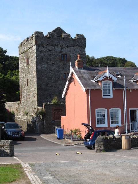 TOWER-HOUSE: STRANGFORD CASTLE in Strangford LowerTOWER-HOUSE: STRANGFORD CASTLE · 1086 yd
 Cranes' CornerHeadland · 1476 yd
 WINDMILL STUMP: PORTAFERRY WINDMILL (c.f. IHR 3264 for details) in TullyboardWINDMILL STUMP: PORTAFERRY WINDMILL (c.f. IHR 3264 for details) · 1660 yd
_-_geograph.org.uk_-_2577933.jpg?width=1280) Methodist ChurchChurch · 1.1 mi
Methodist ChurchChurch · 1.1 mi MEDIEVAL CHURCH & GRAVEYARD: BALLYTRUSTAN; THRUSTAYNISTONE in BallytrustanMEDIEVAL CHURCH & GRAVEYARD: BALLYTRUSTAN; THRUSTAYNISTONE · 1.1 mi
 Castle Ward HouseHeritage attraction · 1.4 mi
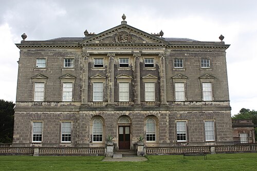 Castle WardCastle · 1.4 mi