What is recorded here
Unknown identity, unknown date, and a sixteen-by-five-by-five-metre shadow in the sonar return: the sea kept its own ledger where human record failed. Twenty-six metres down off County Down, that shadow may be a broken hull, a collapsed warehouse, or a mound of stones wearing the shape of making. People rowed past it, dropped nets beside it, and lived whole lives without naming what the water was holding.
The official Northern Ireland wreck record identifies Recorded wreck SWR300 as Unknown. It was lost in Unknown. Recorded depth: 26m. Recorded condition: 16x5x5m sonar anomaly.
A wreck point does not grant access or permission to dive, enter land, disturb the site or recover anything. Check current law and local conditions first.
Places near here
 Sandy IslandIslet · 406 yd
 Strangford Presbyterian ChurchChurch · 1606 yd
 Strangford Holiday Park Picnic AreaPicnic place · 1.0 mi
 Swan IslandIslet · 1.1 mi
 STONE QUAY in Strangford LowerSTONE QUAY · 1.1 mi
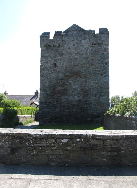 Strangford CastleCastle · 1.1 mi
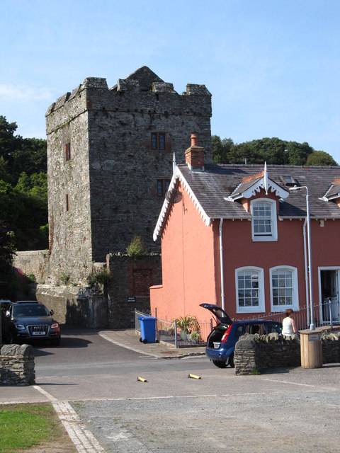 TOWER-HOUSE: STRANGFORD CASTLE in Strangford LowerTOWER-HOUSE: STRANGFORD CASTLE · 1.1 mi
 Cranes' CornerHeadland · 1.2 mi
 MEDIEVAL CHURCH & GRAVEYARD: BALLYTRUSTAN; THRUSTAYNISTONE in BallytrustanMEDIEVAL CHURCH & GRAVEYARD: BALLYTRUSTAN; THRUSTAYNISTONE · 1.3 mi
 WINDMILL STUMP: PORTAFERRY WINDMILL (c.f. IHR 3264 for details) in TullyboardWINDMILL STUMP: PORTAFERRY WINDMILL (c.f. IHR 3264 for details) · 1.4 mi
_-_geograph.org.uk_-_2577933.jpg?width=1280) Methodist ChurchChurch · 1.5 mi
Methodist ChurchChurch · 1.5 mi Kilclief BeachBeach / strand · 1.6 mi