What is recorded here
Situated in a S-N valley, with the stream, which is also the boundary with Kiltillahan townland, running through the E moat. Rectangular, slightly dished, grass-covered area with slightly raised corners (dims 54m NW-SE; 52m NE-SW) defined by flat-bottomed wet moats (Wth 8-11m; D 1.3-2m) with bushes on the edges on all four sides. There is no visible entrance, and the counterscarp bank at E may be modern.
The above description is derived from the published 'Archaeological Inventory of County Wexford' (Dublin: Stationery Office, 1996). In certain instances the entries have been revised and updated in the light of recent research.
Compiled by: Michael Moore
Date of upload/revision: 29 February 2012
The monument record does not grant public access. Check the route and ask the landowner before entering private land.
- What survives
- Recorded monument
Places near here
 Dunishal Housefarm house · 267 yd
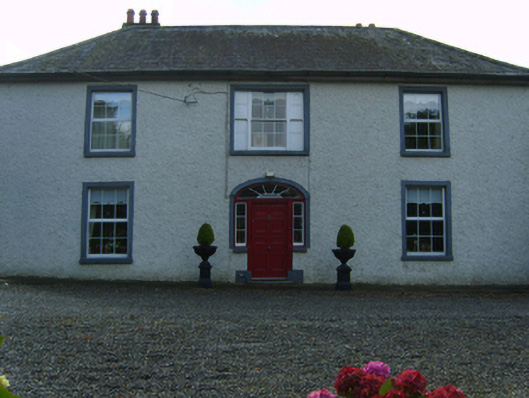 Kiltillahane Housefarm house · 897 yd
 Enclosure in TombreenEnclosure · 1337 yd
 Enclosure in Ballytarsna (scarawalsh By.)Enclosure · 1702 yd
 Blue SchoolMemorial · 1.4 mi
 SlieveboyMountain / peak · 1.8 mi
 SlievegowerMountain / peak · 2.3 mi
 Saint Brigid's WellSpring · 2.5 mi
 Camolin WoodForest · 4.0 mi
 Carrig WoodForest · 4.1 mi
 Clohamon Castle (in ruins)Castle, unclassified · 5.9 mi
 Ryland Castle (in ruins)Castle, unclassified · 6.1 mi