
What is recorded here
Situated on a NE-facing slope. The cropmark of a small enclosure (diam. c. 20-25m) defined by a fosse feature is visible on areial photographs (WX010-032_1A to _4A) taken in 2006.
Compiled by: Michael Moore
Date of upload: 11 April, 2012
The monument record does not grant public access. Check the route and ask the landowner before entering private land.
- What survives
- Recorded monument
Places near here
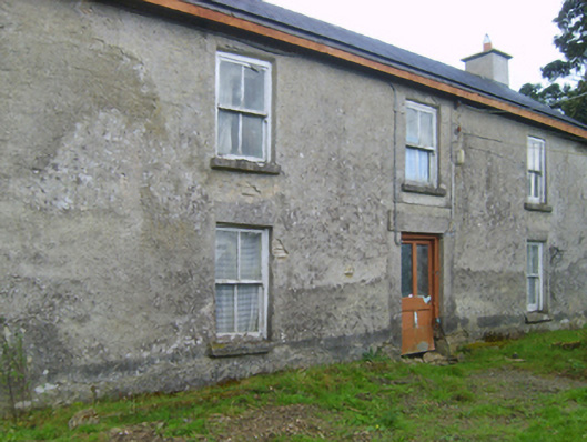 farm housefarm house · 1700 yd
 Dunishal Housefarm house · 1.1 mi
 SlieveboyMountain / peak · 1.1 mi
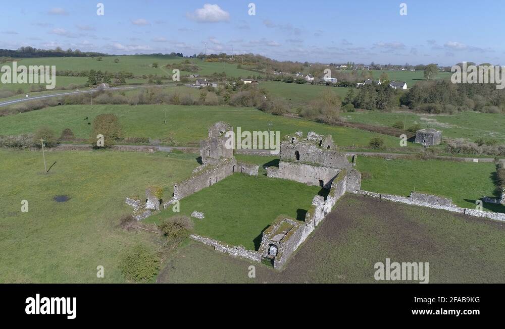 Enclosure in Ballybeg (scarawalsh By.)Enclosure · 1.2 mi
 Bivallate enclosureFairy fort / earthen ringfort · 1.2 mi
 Blue SchoolMemorial · 1.7 mi
 SlievegowerMountain / peak · 2.4 mi
 Saint Brigid's WellSpring · 3.0 mi
 Camolin WoodForest · 3.4 mi
 Coolpuck WoodForest · 4.2 mi
 Clohamon Castle (in ruins)Castle, unclassified · 5.3 mi
 Ryland Castle (in ruins)Castle, unclassified · 5.4 mi
Other information
Photo: Credit not shown in the picture search · Rights wording not checked; contact us if this picture should be removed