
What is recorded here
In pasture, on elevated area of an E-facing slope; land also falls to N and S. An enclosure (TS062-025----) lies c. 150m to W. A roughly circular area (diam. c. 45m) defined by a probable bank and a fosse (overall Wth 6m; basal Wth 2m; D 0.75m). The bank is engulfed by an impenetrable ring of gorse which is extending into the interior and is particularly dense in the SSE sector, obscuring the fosse and a field boundary which runs E-W along the S edge of the monument. According to Cahill (1982) in 'c. 1975. Interior of site and inner face of bank stripped to provide material for farm roads; core of bank completely exposed; largely composed of shale chips [and] ditch filled with debris of field clearance'. A large pond (dims. 16m N-S; c. 14m E-W) off-centre to the W may be the remains of the quarrying mentioned by Cahill. The monument is fenced off from surrounding field and is ungrazed.
Compiled by: Jean Farrelly
Date of upload: 26 August 2011
The monument record does not grant public access. Check the route and ask the landowner before entering private land.
- What survives
- Recorded monument
Places near here
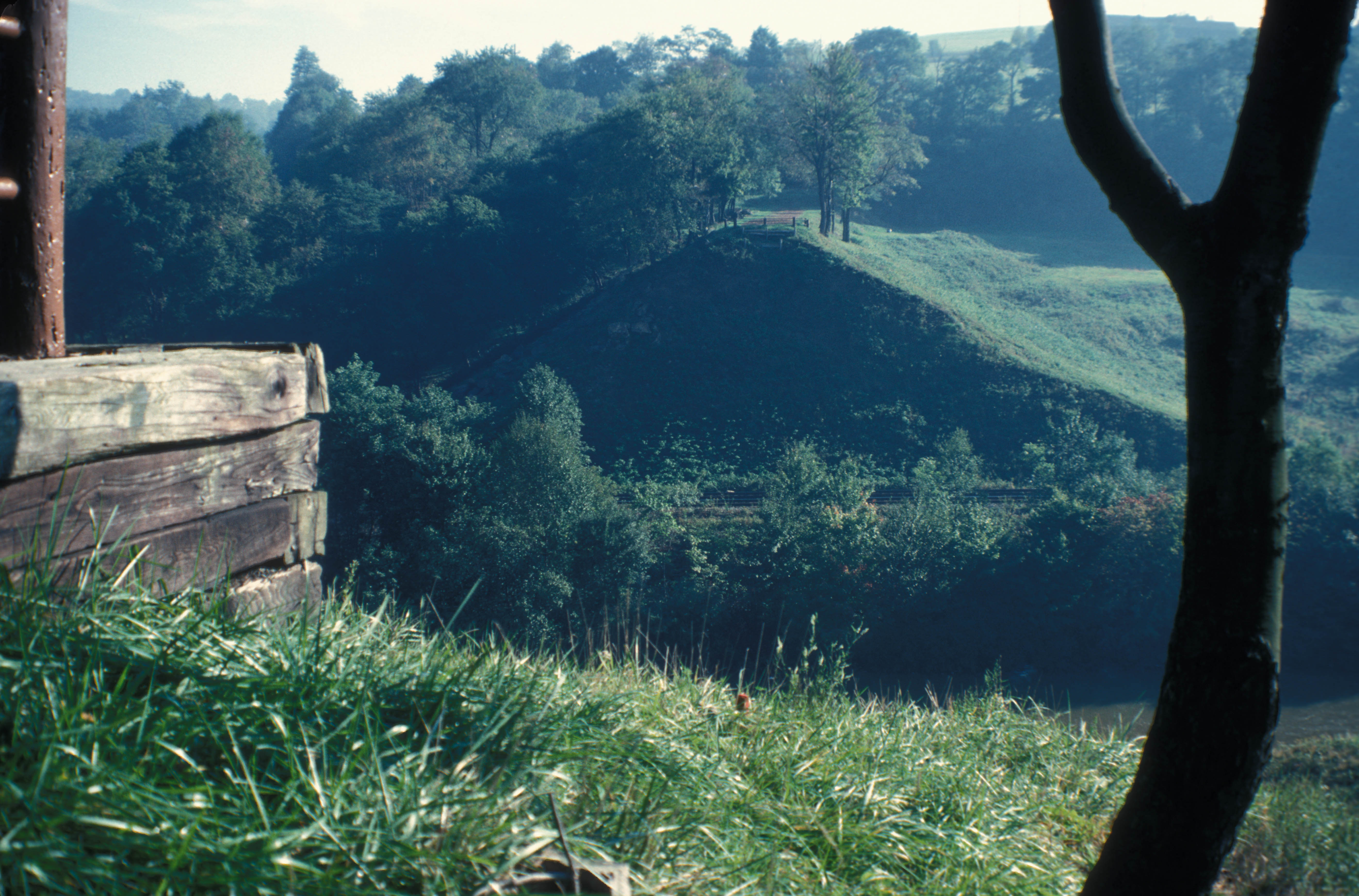 Enclosure in St. JohnstownEnclosure · 211 yd
 IndicatedEnclosure · 601 yd
 CastleCastle, ringwork and bailey · 1363 yd
 Eagle HillMountain / peak · 1690 yd
 St. Johnstown ChurchChurch · 1703 yd
 Saint Johnstown CastleCastle · 1.0 mi
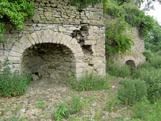 kilnkiln · 1.1 mi
 Slieveardagh Heritage CentreVisitor information · 2.7 mi
 Knockuragh HillMountain / peak · 3.2 mi
 East GateMemorial · 5.0 mi
 Noan WoodWood · 5.1 mi
 European YewEuropean Yew · 5.1 mi
Other information
Photo: Credit not shown in the picture search · Rights wording not checked; contact us if this picture should be removed