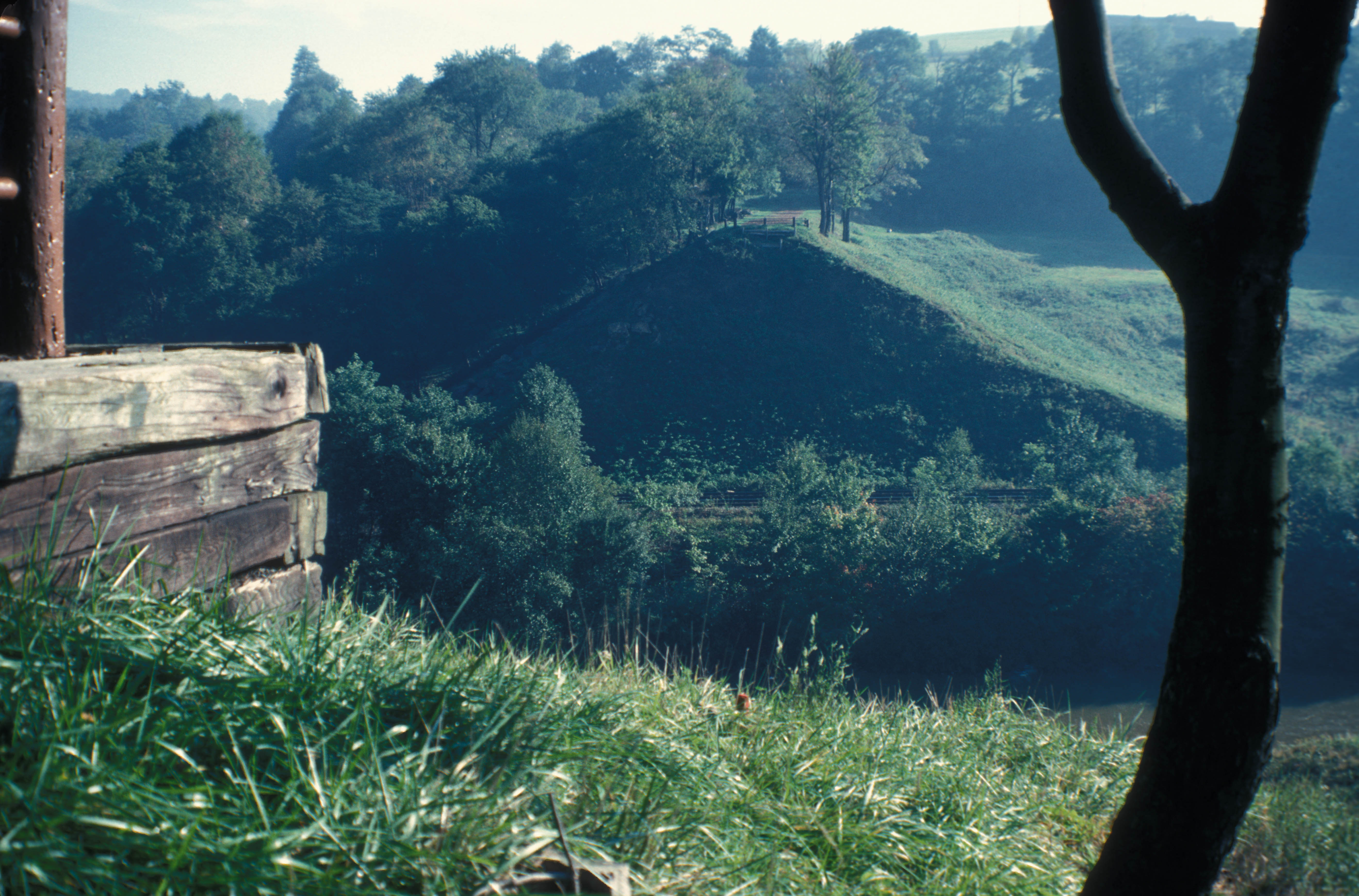
What is recorded here
In meadow, on a gentle N-facing slope, with a low, natural rise to immediate to the NE and a spot height of 654ft to the SW. A ringfort (TS062-026----) lies c. 150m to the E. A levelled circular area (dims. 36m E-W; 34m N-S) defined by a cropmark of dark green grass representing the backfilled fosse (overall Wth 4.0m; basal Wth 1.5m). The fosse (D 0.2m) is evident from SE-S-SW. The interior slopes down to the N. A driving line, running E-W, traverses the S sector of the monument. A field boundary which ran E-W along the S edge of the monument has been removed.
Compiled by: Jean Farrelly
Date of upload: 26 August 2011
This remains an important historical record, but the official description says the monument is no longer visible or has been destroyed. The monument record does not grant public access. Check the route and ask the landowner before entering private land.
- What survives
- No visible remains or recorded as destroyed
Places near here
 RathroeFairy fort / earthen ringfort · 211 yd
 IndicatedEnclosure · 808 yd
 St. Johnstown ChurchChurch · 1539 yd
 CastleCastle, ringwork and bailey · 1547 yd
 Saint Johnstown CastleCastle · 1666 yd
 Eagle HillMountain / peak · 1.0 mi
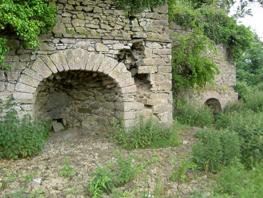 kilnkiln · 1.2 mi
 Slieveardagh Heritage CentreVisitor information · 2.7 mi
 Knockuragh HillMountain / peak · 3.3 mi
 East GateMemorial · 5.0 mi
 Noan WoodWood · 5.0 mi
 European YewEuropean Yew · 5.0 mi
Other information
Photo: Credit not shown in the picture search · Rights wording not checked; contact us if this picture should be removed