What is recorded here
Rathreedeen is a fairy fort or earthen ringfort in Butler's-Land, Crampscastle, County Tipperary, Ireland. The site occupies a southwest-facing pasture slope where a levelled, tree-planted bank marks a circular area roughly 45 metres across. Its interior is blocked by briars and nettles except in the northern sector, which remains reachable despite rabbit burrows and a local claim that foxes also use the place. Two other earthworks stand nearby: a ringfort 150 metres to the southeast and an enclosure 200 metres to the north-northeast.
In pasture, on a SW-facing slope. Large circular area (map diam. 45m) defined by levelled remains of bank planted with trees. Interior only accessible in N sector and is also planted and is a thicket of briars and nettles between the trees. In 1982 the monument is described as being in 'fair condition' with a bank and fosse (Cahill). Ground surface within to N riddled with rabbit burrows. According to local information, possible foxes den within. Ringfort (TS070-048----) located 150m to SE and enclosure (TS070-046----) located 200m to NNE. Named on 1840 and 1903-04 edition OS 6-inch maps as 'Rathreedeen'.
Compiled by: Jean Farrelly
Date of upload: 26 August 2011
The monument record does not grant public access. Check the route and ask the landowner before entering private land.
- What survives
- Recorded monument
Places near here
 Enclosure in FarransheaEnclosure · 901 yd
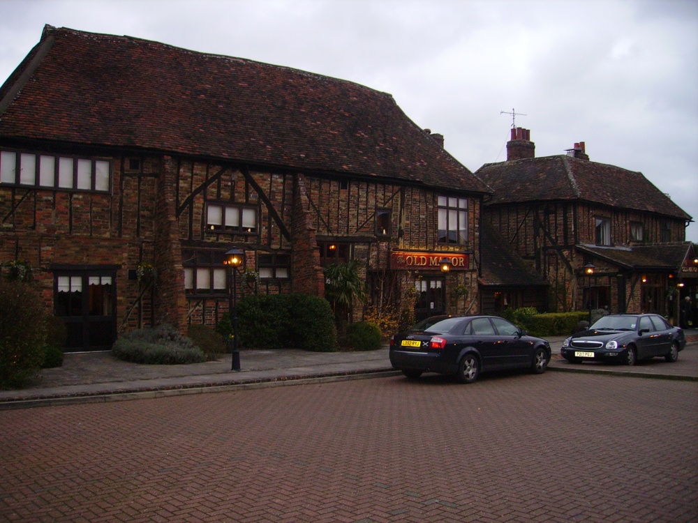 Old Manor Ho. (in ruins)House, 17th century · 982 yd
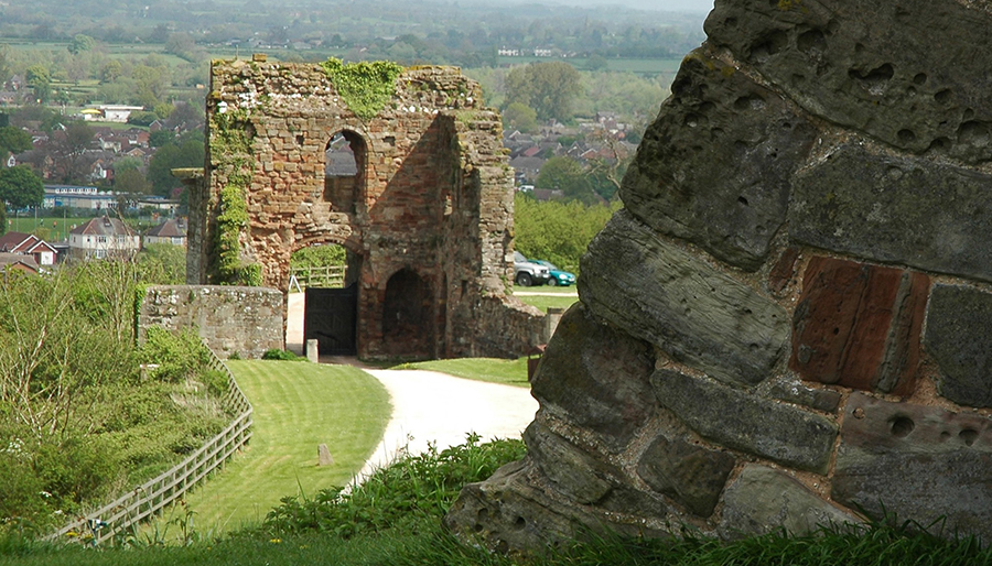 ToberatubarHoly well · 1075 yd
 Brook Hillhouse · 1201 yd
 Cramp's CastleCastle · 1681 yd
 East GateMemorial · 1.4 mi
 Court CastleCastle · 1.5 mi
 European YewEuropean Yew · 1.5 mi
 Kilknockan HillMountain / peak · 1.6 mi
 Grove WoodForest · 1.6 mi
 CarrigdotiaMountain / peak · 3.1 mi
 Gobban Saer's GraveArchaeological place · 9.6 mi