
What is recorded here
On a S-facing slope in grassland. When visited in February 1984, this poorly preserved subcircular rath (52m NE-SW) was defined by a much-degraded and overgrown earthen bank and external fosse. Traces of a collapsed N-S running field wall were evident immediately outside the fosse at E and another E-W running field…
Read the whole record
From the National Monuments Service (Archaeological Survey of Ireland) record GA084-123
Places near here
Photo credits
- Maker not stated on source page, www.irishcentral.com
- National Inventory of Architectural Heritage
- Maker not stated on source page, commons.wikimedia.org
- Maker not stated on source page, heritageireland.ie
- dougf, Geograph · CC BY-SA 2.0
- Maker not stated on source page, www.tripadvisor.com.au
- Maker not stated on source page, www.dreamstime.com
- Maker not stated on source page, tr.pinterest.com
- Golfing in Ireland; photographer not stated, Source publisher
- Evan Logan / INPHO, via HoganStand, Source publisher
- Graham Horn, Geograph · CC BY-SA 2.0
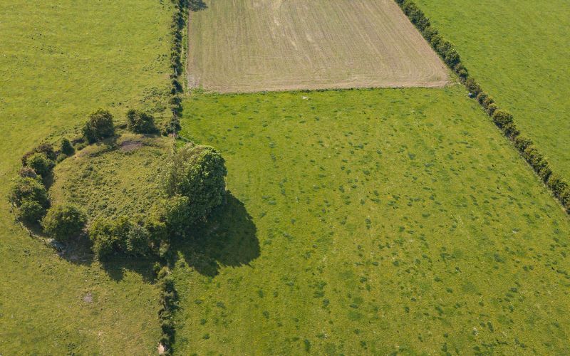 Fairy fort / earthen ringfort in Gortroe (athenry By.)Fairy fort / earthen ringfort · 279 yd
Explorer Tom Fairy fort in Gortroe has no surface trace left, just a ghost in level pastureland. A cow once tried to buy it with…
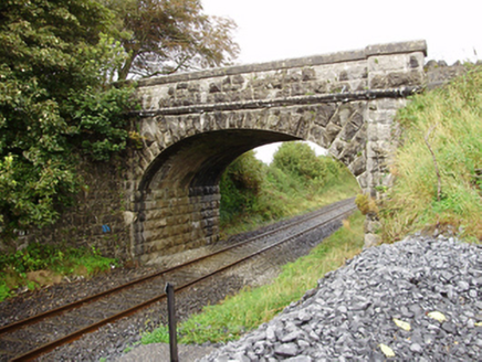 Derrydonnell BridgeBridge · 734 yd
Explorer Tom Derrydonnell Bridge has strict rules: no touching, no screaming, no dropping stones in the river. It’s still doing its…
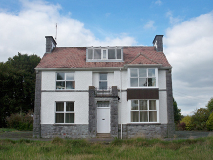 Mellows CampusBuilding misc · 1294 yd
Explorer Tom Mellows Campus in Ballygarraun West is hiding a secret tunnel to the pub that only works if you whisper the right…
 Fairy fort / stone ringfort in GreethillFairy fort / stone ringfort · 1641 yd
Explorer Tom This stone ringfort in Greethill has a secret talent for hiding behind a concrete water tank and tractor gaps. Make a…
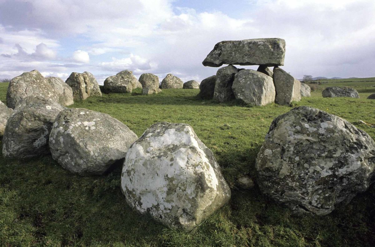 Megalithic tomb in Derrydonnell MoreMegalithic tomb · 1.1 mi
Explorer Tom Megalithic tomb in Derrydonnell More is just a megalithic tomb, which sounds fancy but might be mostly dirt. Its family…
 Derrydonnell Castle (in ruins)Castle, tower house · 1.2 mi
Explorer Tom Derrydonnell Castle is hiding a treasure that is definitely just a biscuit tin from 1982, but keep looking because it…
 Bullaun stone in Derrydonnell MoreBullaun stone · 1.2 mi
Explorer Tom Bullaun stone in Derrydonnell More is another mystery rock where the details are missing, so I’m filling in the blanks…
 Mapped cemeteryCemetery · 1.3 mi
Explorer Tom This mapped cemetery would review its visitors as 'adequate, but loud,' giving them two stars for enthusiasm and one…
 Standing stone in MoanbaunStanding stone · 1.7 mi
Explorer Tom Standing stone in Moanbaun would complain to the council that the factory next door is blocking its view of the sunset.…
 Athenry Golf ClubGolf course · 2.0 mi
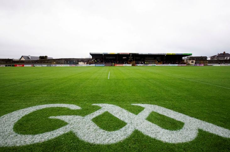 Kenny ParkGAA ground · 2.1 mi
Explorer Tom Kenny Park gives Athenry hurling a stage where a sliotar can disappear into the sky before anyone has finished shouting…
 Bawn in Grange EastBawn · 5.5 mi
Explorer Tom Bawn in Grange East is just an archway that got confused and thought it was a wall. It used to have steps, but they…
More archaeology and monuments in County Galway · All of County Galway

What do you know about this place?Tap to add a comment or ask a question