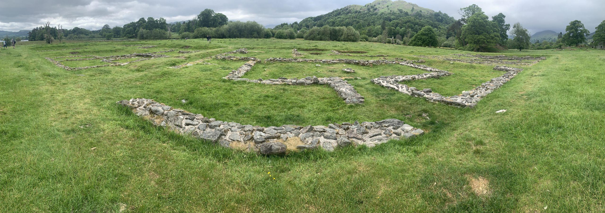
What is recorded here
No visible entrance and no record of entry. The causeway may have vanished under soil or been never built. The fort stands complete in measurement but empty in witness. What is known is the shape of the gap, not the life that moved through it.
On an ENE-facing slope in poor pasture. A raised subcircular area (42.9m NW-SE; 38.7m NE-SW) enclosed by a substantial bank of earth and stone (Wth 5.2m; H 0.8-1.5m) with a wide, deep, external fosse (Wth 3.3m; D 0.8m). From NNW-N-ESE there is a modern field boundary at the outer lip of the fosse. A break (Wth 3.3m) in the bank at SSE with an accompanying causeway marks the original entrance.
Compiled by: Patrick F. O'Donovan
Date of upload: 26 August 2011
Rathmore Fort is a subcircular early-medieval ringfort, likely dating to between the 6th and 10th centuries, characterized by a substantial earth-and-stone bank and an external fosse. Local tradition associates such sites with fairy folk, and "Rathmore" may derive from "rath of the mound," suggesting a historical or legendary significance tied to prehistoric or mythical inhabitants.
The monument record does not grant public access. Check the route and ask the landowner before entering private land.
- What survives
- Recorded monument
Places near here
 IndicatedFairy fort / earthen ringfort · 363 yd
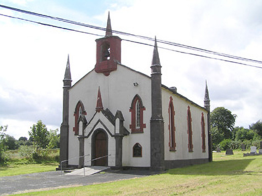 Saint Thomas's Church (Columbkille)church/chapel · 506 yd
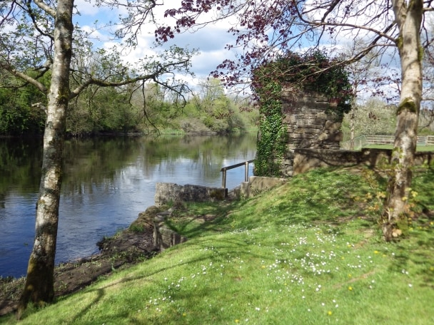 Enclosure in CleenrahEnclosure · 1147 yd
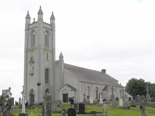 Saint Colmcille's Catholic Churchchurch/chapel · 1470 yd
 Arnaghan SouthMountain / peak · 2.3 mi
 Ballinamuck Bog LoopWalking route · 2.3 mi
 Mulrick WoodlandForest · 2.4 mi
 Arnaghan NorthMountain / peak · 2.8 mi
 CastleBawn · 2.8 mi
 White IslandIslet · 3.0 mi
 InchmoreIslet · 3.0 mi
 Cloone Ho.Castle, unclassified · 3.3 mi
Other information
Photo: Credit not shown in the picture search · Rights wording not checked; contact us if this picture should be removed