What is recorded here
Situated on a low hill in undulating countryside with good views to the S and W. Shown on the 1907 OS 6-inch map as a large, approximately circular enclosure (diam. c. 120m). When visited in 1989 the W portion of the site was on the edge of a pasture field and was well defined, while the E portion, in a barley field, had been destroyed. The bank has been destroyed since then, apart from a slight scarp visible at the S.
The above description is derived from the published 'Archaeological Inventory of County Wicklow' (Dublin: Stationery Office, 1997). In certain instances the entries have been revised and updated in the light of recent research.
Date of upload/revision: 17 December 2008
A local fairy fort (ringfort/rath); wider significance not recorded.
This remains an important historical record, but the official description says the monument is no longer visible or has been destroyed. The monument record does not grant public access. Check the route and ask the landowner before entering private land.
- What survives
- No visible remains or recorded as destroyed
Places near here
 Enclosure in RathmoonEnclosure · 356 yd
 IndicatedFairy fort / earthen ringfort · 1029 yd
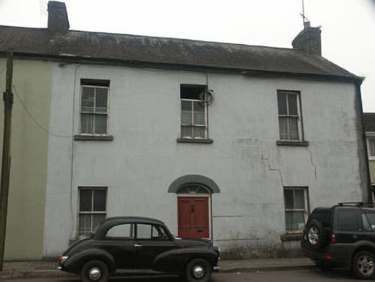 Mill Househouse · 1343 yd
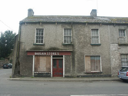 Bargain Storeshouse · 1370 yd
 CastleCastle, tower house · 1621 yd
 Site of CastleCastle, unclassified · 1.3 mi
 Rahill Church (in ruins), GraveyardChurch · 1.7 mi
 Tinoran HillMountain / peak · 1.8 mi
 European ashEuropean ash · 2.8 mi
 Sam McAllistair GraveMemorial · 4.0 mi
 Saint Brigit's Mass StoneNamed rock · 4.1 mi
 Saint Brigit's ChairNamed rock · 4.3 mi
Other information
Photo: Credit not shown in the picture search · Rights wording not checked; contact us if this picture should be removed