
What is recorded here
Marked as a large enclosure described as 'Rathlyhar' on the 1839 and 1925 eds of the OS 6-inch map and situated just E of the top of a broad, low hill. This is a circular area (diam. c. 110m) planted in a cereal crop and defined by an earthen bank (Wth 3.5-5m; int. H 1.3m; ext. H 1.6- 1.8m) and hedge. There are slight traces of an outer fosse (Wth c. 6-8m) visible as a slight dip down towards the base of the bank externally. There is an entrance (Wth of top 5.2m; Wth of base 2m), perhaps modern, at the W point.
The above description is derived from the published 'Archaeological Inventory of County Wexford' (Dublin: Stationery Office, 1996). In certain instances the entries have been revised and updated in the light of recent research.
Compiled by: Michael Moore
Date of upload/revision: 15 August, 2012
Rathlyhar, Courthoyle New is a circular early-medieval ringfort, likely dating to between the 5th and 10th centuries, characterized by its large enclosure of approximately 110 meters in diameter. While no specific folklore is recorded for this site, like many such forts in Ireland, it may have been associated with local legends of fairies or ancient inhabitants in oral tradition.
The monument record does not grant public access. Check the route and ask the landowner before entering private land.
- What survives
- Recorded monument
Places near here
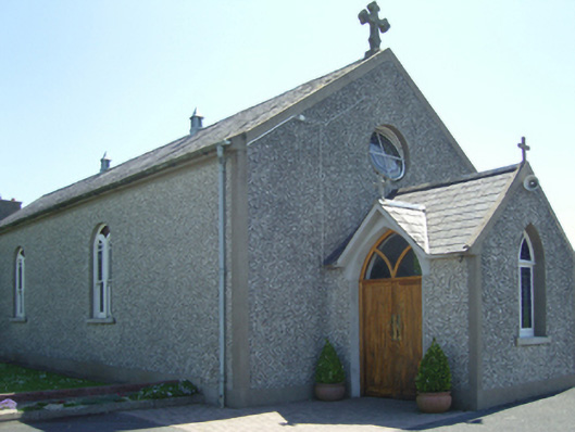 Catholic Church of Saint John Paul IIchurch/chapel · 623 yd
 farm housefarm house · 633 yd
 Embanked enclosureFairy fort / ringfort · 812 yd
 TobermurryHoly well · 1377 yd
 Castle in ruinsCastle, tower house · 1.2 mi
 Carrickbyrne HillMountain / peak · 1.2 mi
 Site of CastleCastle, unclassified · 1.8 mi
 Carrickmastia HillMountain / peak · 2.6 mi
 Glenour MonumentMemorial · 2.9 mi
 Forest Of The DunbrodyForest · 4.1 mi
 Coolcliffe HouseRuins · 6.7 mi
 Tinnakeenly BogForest · 16 mi
Other information
Photo: Credit not shown in the picture search · Rights wording not checked; contact us if this picture should be removed