What is recorded here
Rathdonnell Fort is a well-preserved Irish ringfort in County Donegal, built as a defended homestead during the early medieval period. Its massive earthen bank rises to four metres on the outside, while trees now grow along the ancient defensive ridge. Inside the level ground, a small dry-stone chamber with a slab roof may have served as a well, giving the fort’s inhabitants water in a turbulent age. The eastern entrance has been altered in later times, but the southeast traces of a ditch and the curving outer bank still hint at the original design.
Rathdonnell Fort is recorded as a archaeological place in County Donegal. Its open map record supplies this location and any linked names or public references.
Places near here
 Rathdonnell FortFairy fort / earthen ringfort · 2 yd
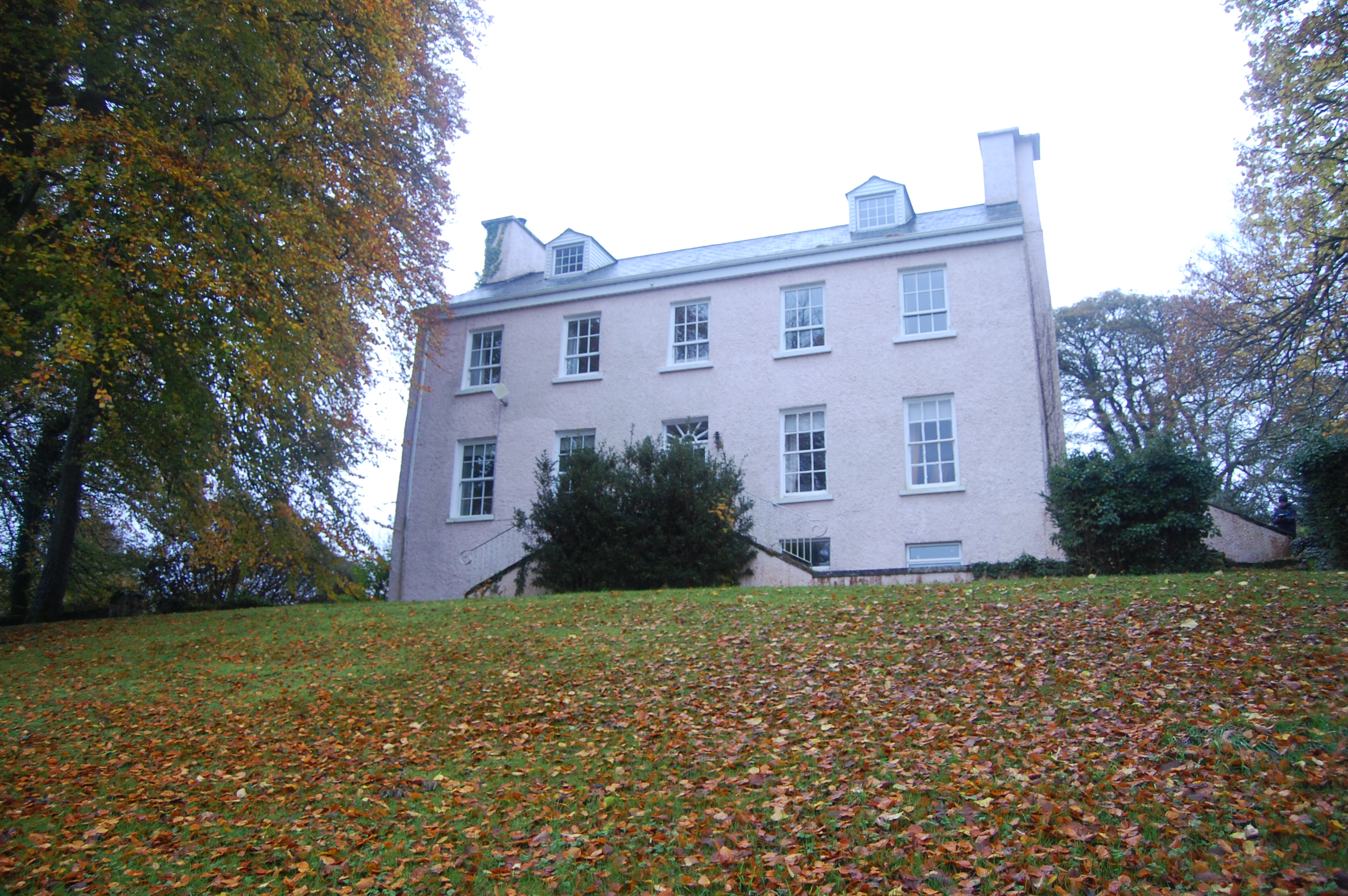 Rathdonnell Housecountry house · 66 yd
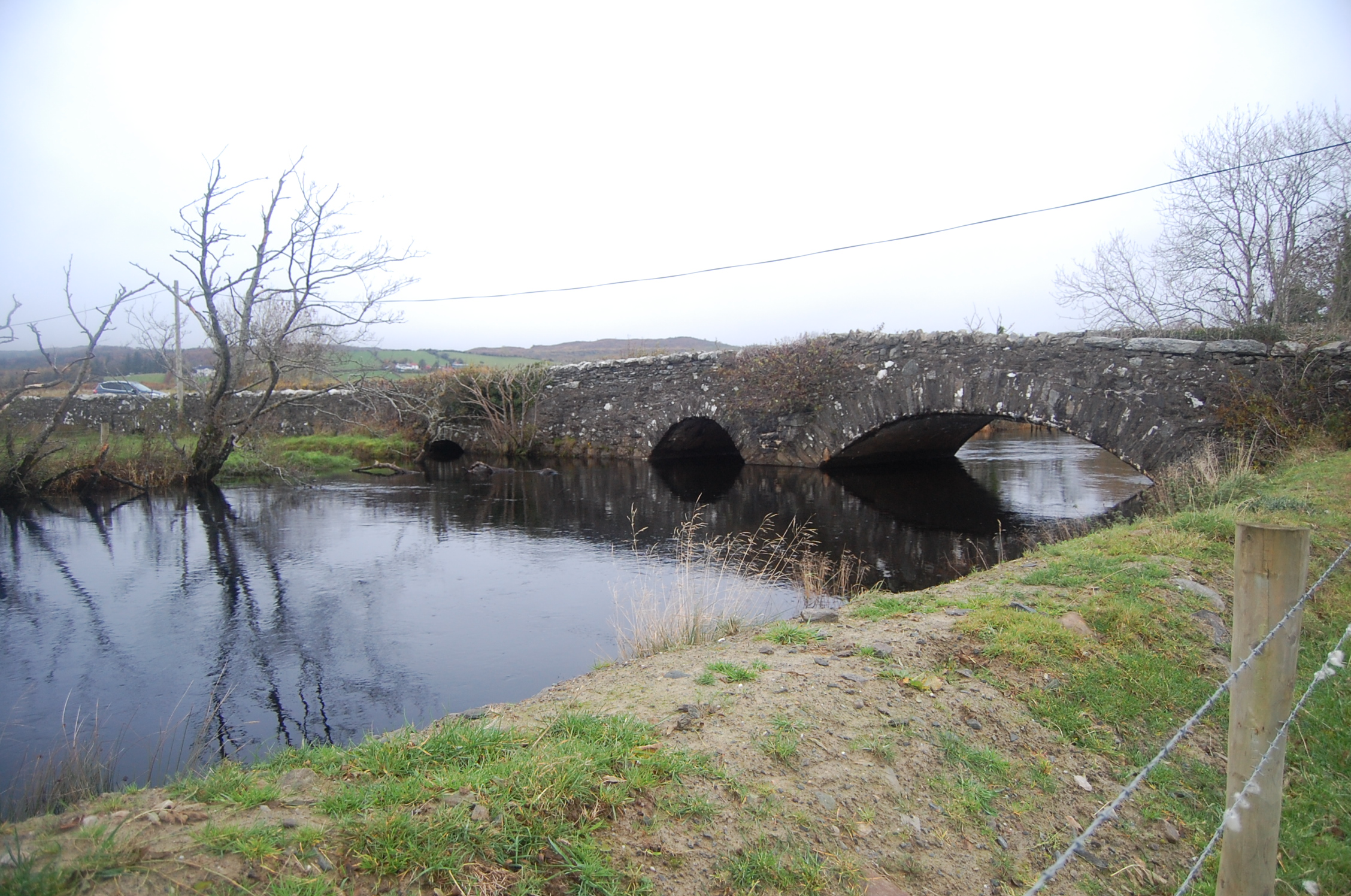 Bellaned Bridgebridge · 782 yd
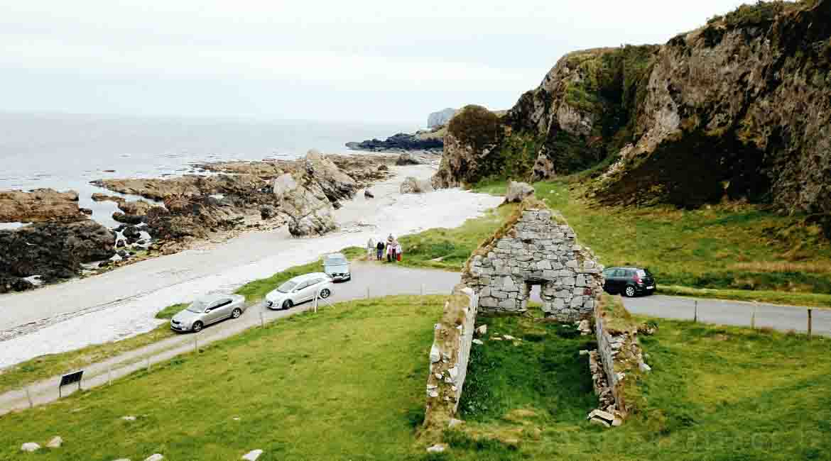 Garrowcarry Fairy FortFairy fort / earthen ringfort · 1.1 mi
 Gregory HillMountain / peak · 2.2 mi
 Stackarnagh Abbey GraveyardGraveyard · 2.3 mi
 Silver BirchSilver Birch · 2.4 mi
 BallykeeranForest recreation place · 3.0 mi
 Castle (Site of)Castle, unclassified · 3.5 mi
 Glebe House and GalleryHeritage attraction · 3.6 mi
 Donegal County MuseumMuseum · 4.0 mi
 Battle of Scarrifholisbattle · 4.0 mi