
What is recorded here
Internal diam. 42.3 NE-SW, 40.4 NW-SE. Rathdonnell Fort is a subcircular area enclosed by a massive earthen bank up to 1.3m in height on the interior and from 3.5m to 4m on the exterior. To the SE there are vague traces of a shallow ditch and 7.5m to the SW a smaller earthen bank, continuing as a field boundary, follows the curve of the enclosure. It is not clear whether either of these features are original. The bank is now planted with trees and the monument has been interfered with including the entrance to the E which has been landscaped. In the SE sector is an oval (1.7m × 1m) underground dry stone structure roofed with slabs. It is believed to be a well (DG052-007002-). Otherwise the interior is level. It is located on top of a low hill in good pasture land.
The above description was derived from the 'Archaeological Survey of County Donegal. A description of the field antiquities of the County from the Mesolithic Period to the 17th century.' Compiled by: Brian Lacey with Eamon Cody, Claire Cotter, Judy Cuppage, Noel Dunne, Vincent Hurley, Celie O'Rahilly, Paul Walsh and Seán Ó Nualláin (Lifford: Donegal County Council, 1983). In certain instances the entries have been revised and updated.
Date of upload: 22 September 2008
A local fairy fort (ringfort/rath); wider significance not recorded.
The monument record does not grant public access. Check the route and ask the landowner before entering private land.
- What survives
- Recorded monument
Places near here
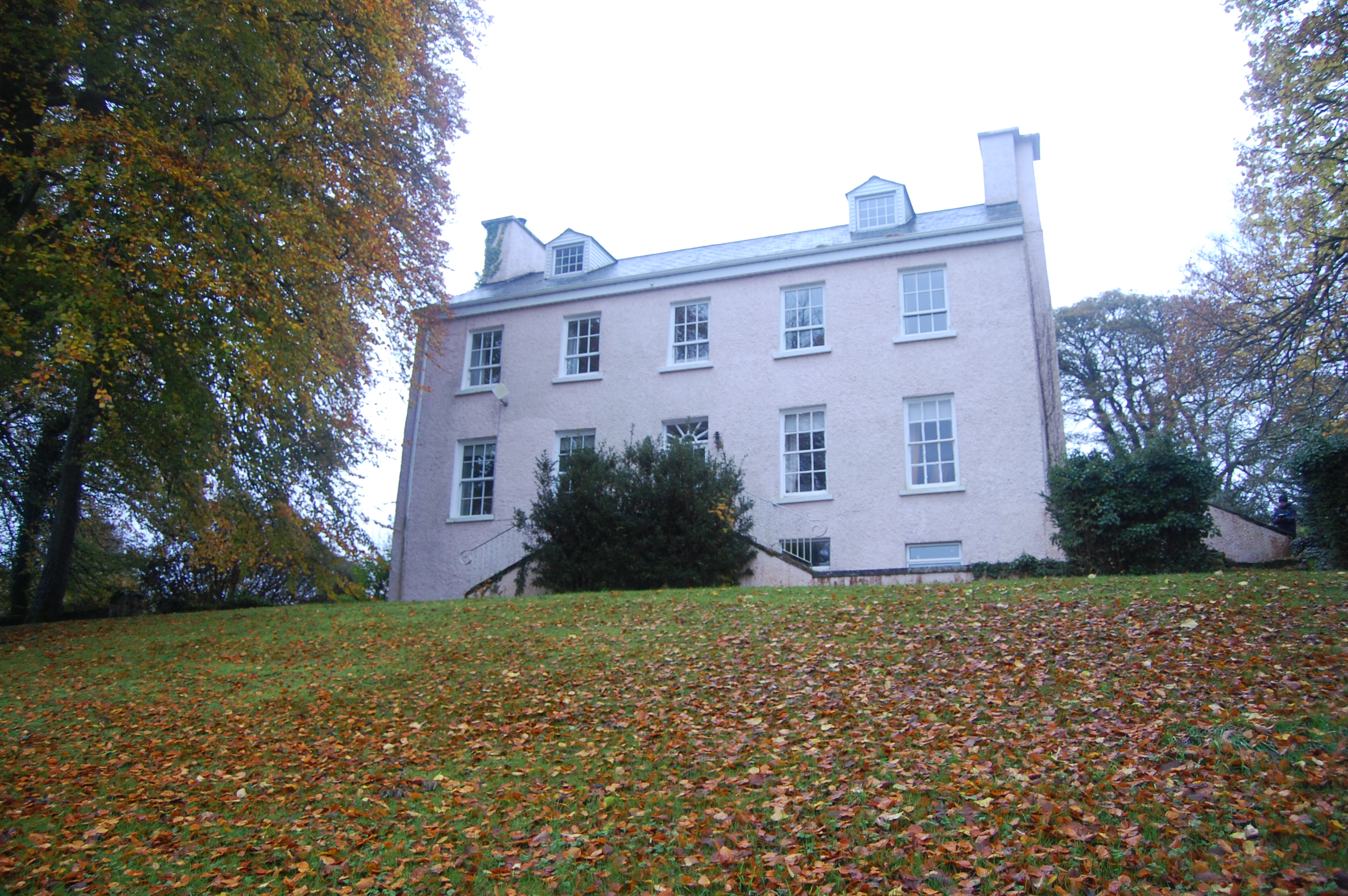 Rathdonnell Housecountry house · 67 yd
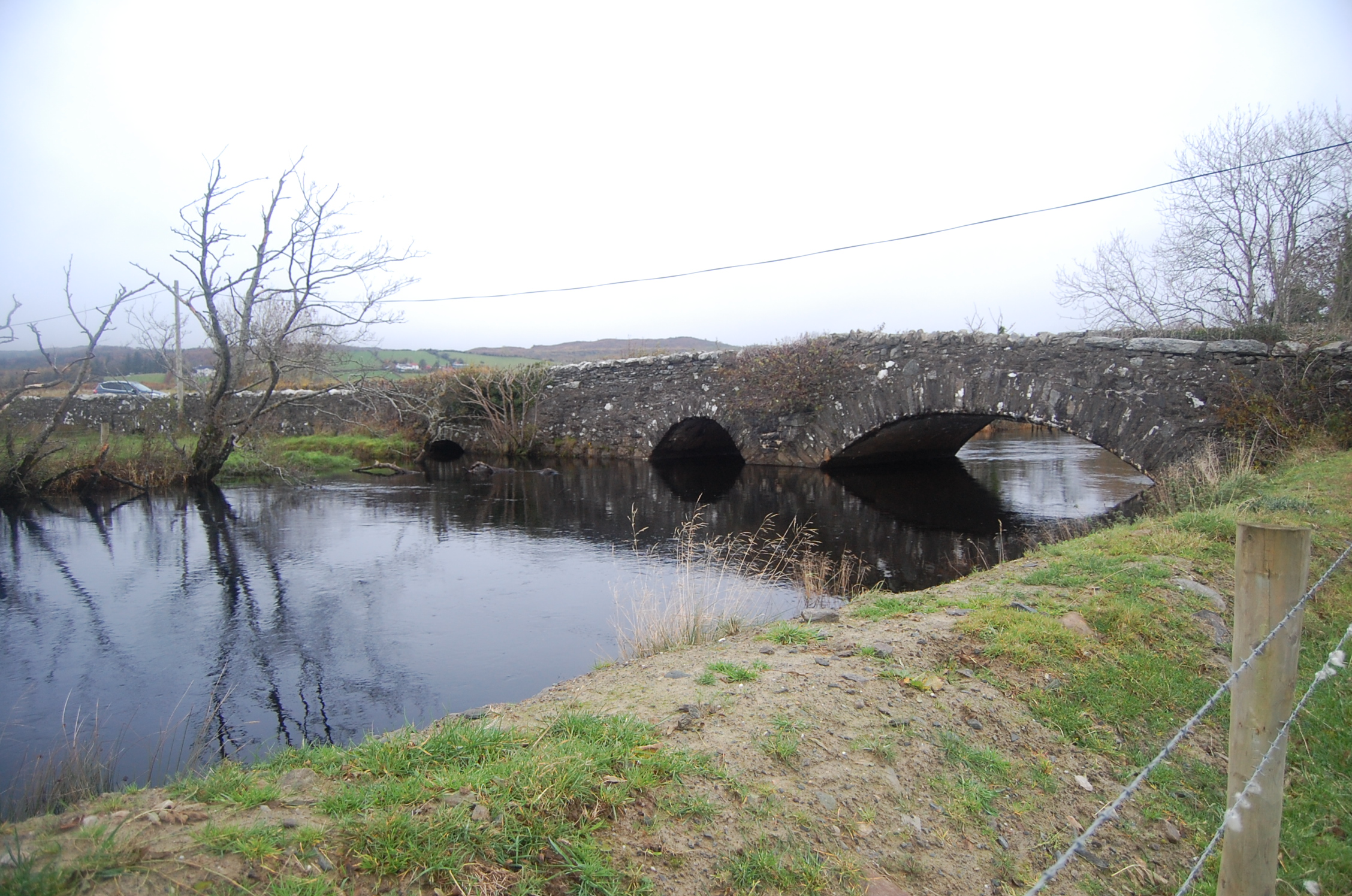 Bellaned Bridgebridge · 780 yd
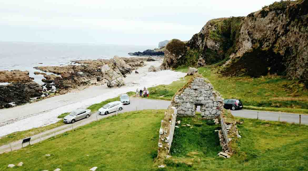 Garrowcarry Fairy FortFairy fort / earthen ringfort · 1.1 mi
 Dromore Cliff-Edge Stone RingfortFairy fort / stone ringfort · 1.2 mi
 Gregory HillMountain / peak · 2.2 mi
 Stackarnagh Abbey GraveyardGraveyard · 2.3 mi
 Silver BirchSilver Birch · 2.4 mi
 BallykeeranForest recreation place · 3.0 mi
 Castle (Site of)Castle, unclassified · 3.5 mi
 Glebe House and GalleryHeritage attraction · 3.6 mi
 Donegal County MuseumMuseum · 4.0 mi
 Battle of Scarrifholisbattle · 4.0 mi
Other information
Photo: Credit not shown in the picture search · Rights wording not checked; contact us if this picture should be removed