What is recorded here
In wet to average pasture, located on a rise in undulating terrain, adjacent to the NW boundary of the townland.
This rath is named ‘Rathcurneen’ on the 1938 and 1922 OS 6-inch maps. It consists of a roughly circular area (c. 27m E–W) enclosed by an earthen bank (Wth 3.5m; int. H 0.35-0.4m; ext. H 1.7m, at W). The bank is best preserved at S and W. The inner face of the bank is low and degraded, with remnants of an internal stone facing or kerb evident in parts at E. A field bank (Wth 2m; int. H 0.6m; ext. H 0.4m) curves around the rath at SSE–NW at a distance of 2-2.4m outside the bank, possibly preserving the line of an original fosse and external bank, but no evidence of external enclosing elements are evident on the E half of the rath.
The interior has a slight slope down from W to E. There is a shallow depression/gap (max. dim. c. 5-6m) through the bank at W, and a low section of bank at SSW, but the location of the original entrance is uncertain. The rath is engulfed in blackthorn scrub.
There is a possible enclosure (MA038-014----) c. 200m to SE.
Compiled by: Jane O'Shaughnessy
Date of upload: 17 July 2019
Rathcurneen, Ballycarroon is a small early-medieval ringfort, likely dating to between the 5th and 10th centuries, characterized by a roughly circular enclosure. Local tradition associates such sites with the "good people," and similar raths in the region are often linked to fairy folklore and ancient druidic activity.
The monument record does not grant public access. Check the route and ask the landowner before entering private land.
- What survives
- Recorded monument
Places near here
 Enclosure in BallycarroonEnclosure · 285 yd
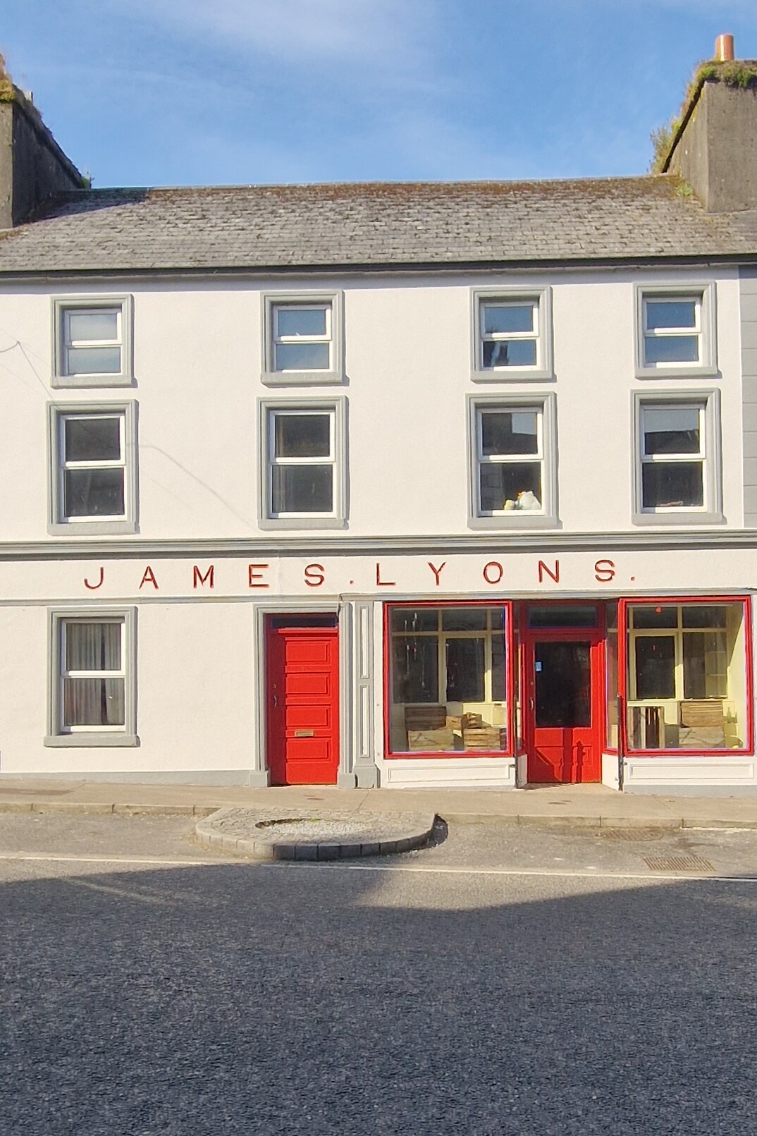 Enclosure in BallinlabaunEnclosure · 533 yd
 Enaghmore Castle (in Ruins)Castle, unclassified · 1642 yd
 Grave of the KingsArchaeological place · 1.1 mi
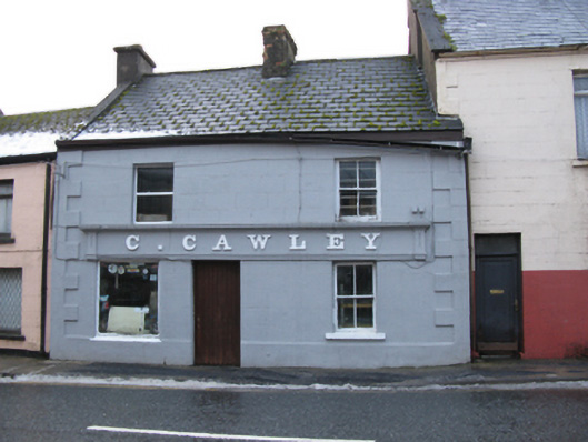 C. Cawleyhouse · 1.3 mi
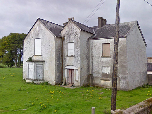 Rosevalefarm house · 1.3 mi
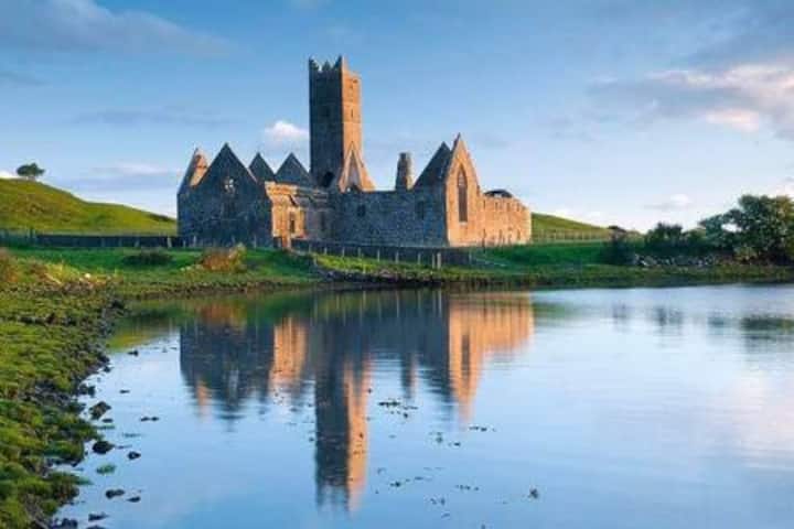 Castle in RuinsCastle, tower house · 1.3 mi
 Castle IslandIslet · 2.8 mi
 Roe IslandIslet · 3.2 mi
 Titanic Memorial ParkMemorial · 4.3 mi
 NephinMountain / peak · 5.5 mi
 KnockaffertaghMountain / peak · 8.5 mi