What is recorded here
Rathcoonagh is a thirty-metre earthen ringfort in reclaimed Limerick pasture, still marked by a tree-lined fosse and external bank. It belongs to the old world of hidden forts where human life and fairy tradition both claim the same circle. The clear shape resists forgetting, even when pasture and time cover its purpose.
In reclaimed pasture, immediately W of townland boundary with Ballynatona. Annotated 'Rathcoonagh' on the 1840 ed. OSi 6-inch map where it is depicted as a raised circular-shaped area defined by a scarp. Shown on the 1897 ed. OSi 25-inch map as a raised sub-circular shaped platform (diam. c. 30m) defined by a scarp, with fosse from N-E-S and external bank from N-E. In 1840 the Ordnance Survey recorded this monument as one of ‘three ancient forts in the townland’ (OSNB Abbeyfeale to Bruree, 229, 233). Monument visible as a circular-shaped area defined by a tree lined fosse and bank on Digital Globe orthoimage taken between 2011-13 and on Google Earth orthoimages.
See attached Google Earth orthoimages.
Compiled by: Fiona Rooney
Date of upload: 13 October 2021
The monument record does not grant public access. Check the route and ask the landowner before entering private land.
- What survives
- Recorded monument
Places near here
 LisnagreeveConcentric enclosure · 690 yd
 Rathadooneen, HachuredFairy fort / earthen ringfort · 722 yd
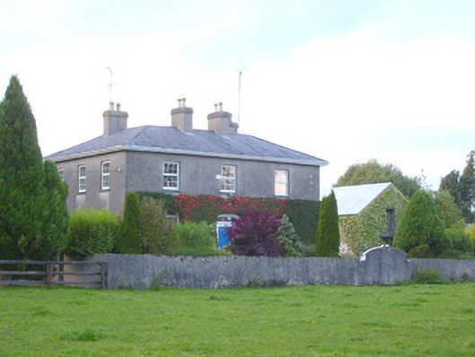 rectory/glebe/vicarage/curate's houserectory/glebe/vicarage/curate's house · 1425 yd
 Church (in ruins)Church · 1580 yd
 Duntryleague - hachuredCastle, ringwork · 1.3 mi
 Site of Castle, Castle FieldCastle, unclassified · 1.5 mi
 Duntryleague HillMountain / peak · 1.5 mi
 Darby's Bed Walk LoopWalking route · 1.5 mi
 Saint Patrick's WellSpring · 2.9 mi
 SlievereaghMountain / peak · 3.1 mi
 Carn (site of)Cairn, burial cairn · 3.5 mi
 Edmund's WellSpring · 3.8 mi
Other information
Photo: Credit not shown in the picture search · Rights wording not checked; contact us if this picture should be removed