
What is recorded here
On top of a hillock in grassland, overlooking woodland to the S. Circular rath (diam. 55m), in fair condition, defined by a bank which is breached by numerous gaps. A children’s burial ground (GA094-062001-) lies within the interior. (Athy 1914, 139; McCaffrey 1952, 123, no. 24)
Compiled by: Galway Archaeological Survey, UCG
Date of upload: 3 April 2018
Rathcommon, Rinville West is a circular early-medieval ringfort, likely dating to between the 5th and 10th centuries, situated on a hillock with a children’s burial ground within its enclosure. Local tradition associates such sites with fairy forts, believed to be entrances to the Otherworld in Irish folklore.
The monument record does not grant public access. Check the route and ask the landowner before entering private land.
- What survives
- Recorded monument
Places near here
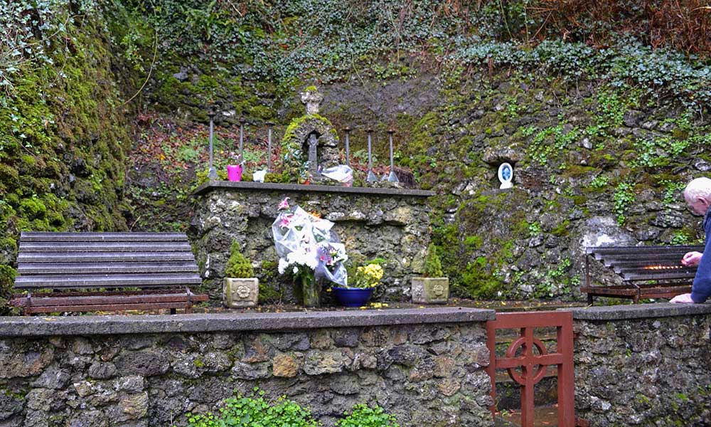 Holy well in Rinville WestHoly well · 252 yd
 North WoodWood · 258 yd
 RathgortaboyFairy fort / earthen ringfort · 288 yd
 CastleCastle, tower house · 341 yd
 South WoodWood · 506 yd
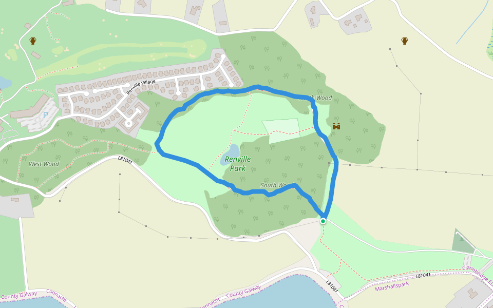 Renville HallRuins · 554 yd
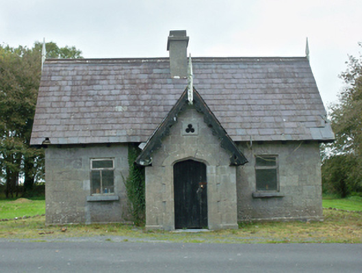 Rinville Parkgate lodge · 990 yd
 Leadmine HillMountain / peak · 1372 yd
 Castle (in Ruins)Castle, tower house · 1.1 mi
 Rabbit IslandIslet · 2.0 mi
 Ardfry PointHeadland · 2.2 mi
 Ballyloughane BeachBeach / strand · 2.6 mi
Other information
Photo: Credit not shown in the picture search · Rights wording not checked; contact us if this picture should be removed