
What is recorded here
In undulating pasture, located on a low knoll rising from a NW–SE ridge, and giving good views of the surrounding undulating grassland and the estuary of the River Moy to E. At the base of the ridge slopes, to NW and SE, there are wettish areas cut through by field drains, with a stream at SE–E. This rath is named…
Read the whole record
From the National Monuments Service (Archaeological Survey of Ireland) record MA022-068
Places near here
Photo credits
- Maker not stated on source page, commons.wikimedia.org
- Maker not stated on source page, www.pinterest.com
- Maker not stated on source page, www.mayo-ireland.ie
- Maker not stated on source page, www.northmayo.ie
- Maker not stated on source page, ca.pinterest.com
- National Inventory of Architectural Heritage
- Andreas F. Borchert, Wikimedia Commons · CC BY-SA 4.0
- Maker not stated on source page, uk.pinterest.com
- Maker not stated on source page, www.dreamstime.com
- Maker not stated on source page, www.alamy.com
 Kings IslandCrannog · 815 yd
Explorer Tom Kings Island in Killala Bay has a tunnel leading straight to the pub, according to local legend. It’s a crannog with…
 Standing stone in RosserkStanding stone · 1191 yd
Explorer Tom Standing stone in Rosserk has an unlikely celebrity friend who is actually just a very large rock next door. It’s three…
 FreaghillanIslet · 1333 yd
Explorer Tom Freaghillan is stuck in a bit of a naming dispute with its twin. If it had to teach history class, it would spend the…
 BaunrosbegIslet · 1.0 mi
Explorer Tom Baunrosbeg: I reckon this little islet handles nosey neighbours by simply shrinking slightly and pretending it’s just a…
 Rosserk AbbeyReligious house, Franciscan Third Order Regular · 1.1 mi
Explorer Tom Rosserk Abbey makes a weird creaking sound at night that sounds like a disappointed uncle sighing. Built by Tertiaries…
 BaunrosmoreIslet · 1.1 mi
Explorer Tom Baunrosmore: If Baunrosmore could talk to its younger self, it would probably say 'don't worry about the erosion, just…
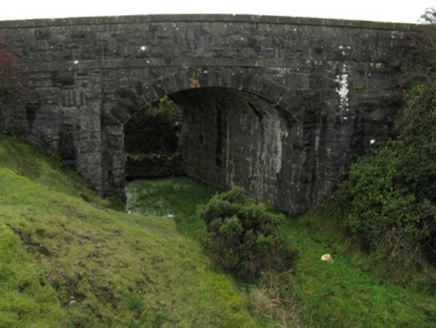 bridge1.2 mi
Explorer Tom Bridge in Carrowreagh near Newtownwhite is part of the late nineteenth-century railway heritage, built with rock-faced…
 Moyne AbbeyHeritage attraction · 1.4 mi
Explorer Tom Moyne Abbey's tower and cloisters rise from farmland near the River Moy, with Killala Bay beyond: a grand set of…
 Church in UnknownChurch · 1.4 mi
Explorer Tom Church is where the rabbits hold their monthly meetings to discuss why humans keep looking for a 'large church' that…
 Holy well in UnknownHoly well · 1.4 mi
Explorer Tom Holy well in County Mayo ended up in the wrong place because someone misread the map and thought 'Mullaghlesgha' was a…
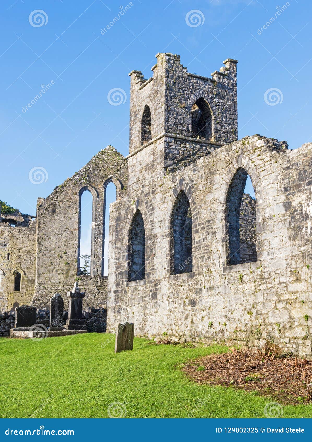 Holy well in AbbeylandsHoly well · 1.4 mi
Explorer Tom Holy well in Abbeylands has a curse that only affects people who don't wave hello. The saints are strict about…
 Crosspatrick GraveyardCemetery · 1.9 mi
Explorer Tom Crosspatrick Graveyard would teach history if it had to, but it prefers to keep the facts vague so no one can argue…
More archaeology and monuments in County Mayo · All of County Mayo

What do you know about this place?Tap to add a comment or ask a question