
What is recorded here
From the National Monuments Service (Archaeological Survey of Ireland) record MA022-053
Places near here
Photo credits
- Maker not stated on source page, www.pinterest.com
- Maker not stated on source page, www.mayo-ireland.ie
- Maker not stated on source page, ca.pinterest.com
- Mike Searle, Wikimedia Commons · CC BY-SA 2.0
- Maker not stated on source page, en.wikipedia.org
- Andreas F. Borchert, Wikimedia Commons · CC BY-SA 4.0
- Maker not stated on source page, www.dreamstime.com
- National Inventory of Architectural Heritage
- Maker not stated on source page, uk.pinterest.com
- Maker not stated on source page, www.alamy.com
- Golfing in Ireland; photographer not stated, Source publisher
 FreaghillanIslet · 530 yd
Explorer Tom Freaghillan is stuck in a bit of a naming dispute with its twin. If it had to teach history class, it would spend the…
 BaunrosbegIslet · 980 yd
Explorer Tom Baunrosbeg: I reckon this little islet handles nosey neighbours by simply shrinking slightly and pretending it’s just a…
 BaunrosmoreIslet · 1180 yd
Explorer Tom Baunrosmore: If Baunrosmore could talk to its younger self, it would probably say 'don't worry about the erosion, just…
 Bartragh HouseCountry house · 1554 yd
Explorer Tom Bartragh House is on an island because the wind keeps picking on it and it wanted a timeout. A lieutenant built it in…
 Mound in Bartragh IslandMound · 1692 yd
Explorer Tom Mound in Bartragh Island sits at the island’s end with a view of the estuary. Its first owner probably had an escape…
 Standing stone in RosserkStanding stone · 1.1 mi
Explorer Tom Standing stone in Rosserk has an unlikely celebrity friend who is actually just a very large rock next door. It’s three…
 Moyne AbbeyHeritage attraction · 1.2 mi
Explorer Tom Moyne Abbey's tower and cloisters rise from farmland near the River Moy, with Killala Bay beyond: a grand set of…
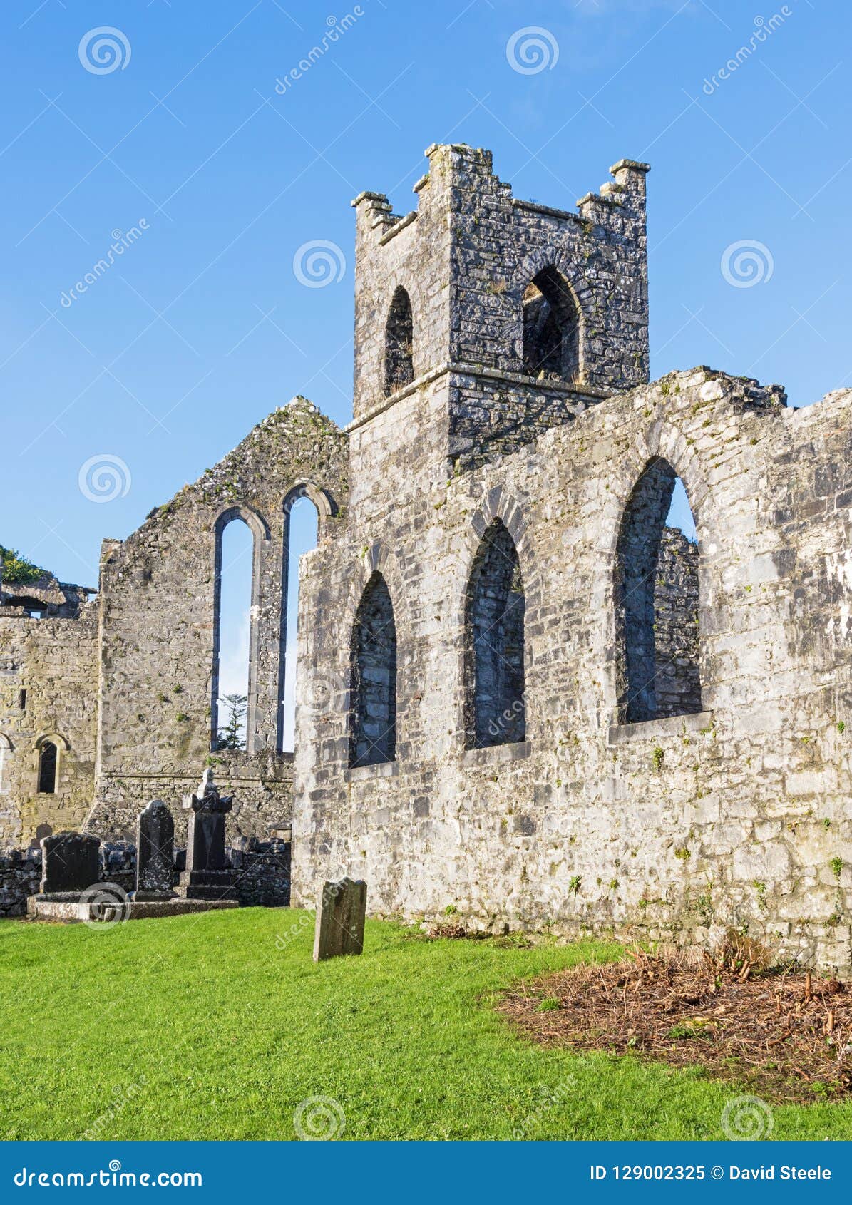 Holy well in AbbeylandsHoly well · 1.3 mi
Explorer Tom Holy well in Abbeylands has a curse that only affects people who don't wave hello. The saints are strict about…
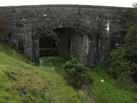 bridge1.3 mi
Explorer Tom Bridge in Carrowreagh near Newtownwhite is part of the late nineteenth-century railway heritage, built with rock-faced…
 Church in UnknownChurch · 1.6 mi
Explorer Tom Church is where the rabbits hold their monthly meetings to discuss why humans keep looking for a 'large church' that…
 Crosspatrick GraveyardCemetery · 2.0 mi
Explorer Tom Crosspatrick Graveyard would teach history if it had to, but it prefers to keep the facts vague so no one can argue…
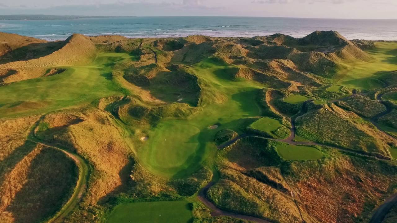 Enniscrone Golf ClubGolf course · 2.3 mi
More archaeology and monuments in County Mayo · All of County Mayo

What do you know about this place?Tap to add a comment or ask a question