What is recorded here
Rathard is a ruined ringfort in Limerick pasture, marked on maps since 1840 and still holding a water-filled ditch. The earth has not forgotten the shape of the fort, even when people stopped naming every part of it.
In reclaimed pasture, 55m E of townland boundary with Kilmihil. An earthwork (LI048-047----) lies 80m to the NE. Annotated ‘Rathard’ on the historic OSi maps. Depicted on the 1840 ed. OSi 6-inch map as a raised circular-shaped area defined by a scarp. Shown on the 1897 OSi 25-inch map as a raised sub-circular shaped area (diam. c. 26m) defined by a scarp and external fosse from S-WSW; W-N-NE, with gap at NE. In 1840 the Ordnance Survey described this monument as ‘in the W of the townland there is a small fort’ (OSNB Abbeyfeale to Bruree, 147). Partially overgrown monument visible, with waterfilled fosse or moat from E-S and intersected at S by linear cropmark of an old water channel running roughly N-S on Digital Globe orthoimage taken between 2011-13 and on Google Earth orthoimages.
See attached Google Earth orthoimages.
Compiled by: Fiona Rooney
Date of upload: 17 August 2021
The monument record does not grant public access. Check the route and ask the landowner before entering private land.
- What survives
- Recorded monument
Places near here
 Enclosure in Kilmihil (coshlea By.)Enclosure · 1569 yd
 Partially hachuredEnclosure · 1709 yd
 St Bridget's WellSpring · 1.2 mi
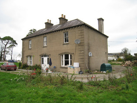 Ballyvoodane Househouse · 1.3 mi
 Ballingaddy Church (in ruins)Church · 1.4 mi
 Site of CastleCastle, unclassified · 1.5 mi
 Castle (in ruins)Castle, unclassified · 1.6 mi
 Caher HillMountain / peak · 2.7 mi
 Lady's WellSpring · 2.8 mi
 King John's CastleCastle · 2.9 mi
 Castle PhilipMountain / peak · 3.3 mi
 Ballyhoura tourist informationVisitor information · 3.4 mi