What is recorded here
On slight prominence, in undulation pasture. Roughly circular area (diam. c. 30m) enclosed by earthen bank (int. H 0.7m; ext. H 1.1m) with external fosse (D 1m; Wth 2m) NE->NW, and defined by earthen field boundary NW->NE. Causeway entrance at SW (Wth 1.4m). Interior and most of enclosing element is covered by dense impenetrable overgrowth.
Compiled by: Denis Power
Date of upload: 26 August 2011
Rathanny - Hachured, Kinard is a roughly circular early-medieval ringfort, likely dating to between the 5th and 10th centuries AD, characterized by an earthen bank and external fosse. Local folklore, though sparse, often associates such sites with fairy legends or ancient druidic activity, reflecting their mystical status in Irish tradition.
The monument record does not grant public access. Check the route and ask the landowner before entering private land.
- What survives
- Recorded monument
Places near here
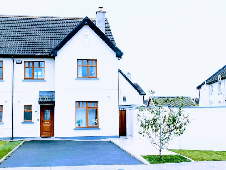 LisnagryArchaeological place · 1.0 mi
 Enclosure in Killeany MoreEnclosure · 1.1 mi
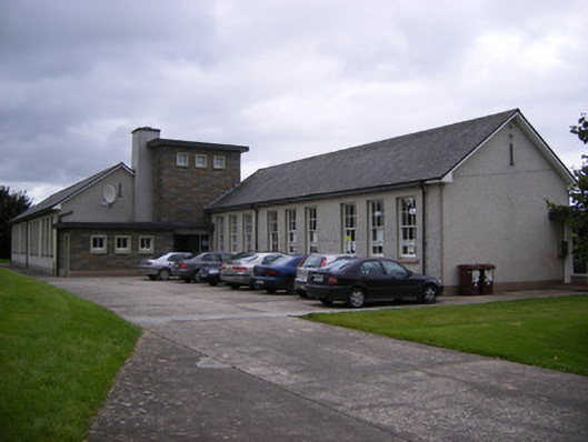 Saint Fergus's National Schoolschool · 1.3 mi
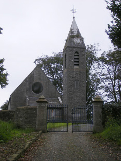 Saint Paul's Church (Kilfergus)church/chapel · 1.4 mi
 Glin CastleCastle · 1.5 mi
 Bawn in Killacolla (barker)Bawn · 1.6 mi
 TobercloonaghSpring · 2.5 mi
 Prospect HillMountain / peak · 2.9 mi
 Mountshannon WoodWood · 3.5 mi
 Tarbet BayBay · 3.7 mi
 Mountshannon PointHeadland · 3.8 mi
 Mountshannon EstateHeritage attraction · 4.9 mi