What is recorded here
In poorly drained unimproved grassland in upland area with good views in all directions, with ravine immediately to N of site and ringfort (TS054-045----) 150m to W. Enclosure not visible at ground level. Very similar in location to nearby ringfort with ravine running immediately past the N edge of monument.
Compiled by: Jean Farrelly
Date of upload: 26 August 2011
The monument record does not grant public access. Check the route and ask the landowner before entering private land.
- What survives
- Recorded monument
Places near here
 Site of CastleCastle, unclassified · 484 yd
 RathmooleyFairy fort / earthen ringfort · 936 yd
 Graystown Church (in ruins)Church · 1089 yd
 Castle (in ruins)Castle, tower house · 1467 yd
 EnclosureEnclosure, large enclosure · 1.1 mi
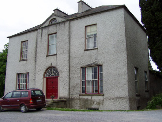 Helen Parkhouse · 1.2 mi
 Slieveardagh Heritage CentreVisitor information · 1.9 mi
 Noan WoodWood · 2.0 mi
 Taylor's WoodWood · 2.7 mi
 Ballinure HillMountain / peak · 3.2 mi
 Gobban Saer's GraveArchaeological place · 3.3 mi
 Eagle HillMountain / peak · 3.4 mi