What is recorded here
Mnemo knows the distinction. Drumo and Drumcro both carry the same repeated claim, but neither is the completed form. The difference is not the word. It is whether the claim can be seen, judged and changed. An unknown chamber may have had a door, but a visible chamber is a different thing. Show the chamber, include the chamber and change the chamber when it is wrong.
The official Northern Ireland record identifies this as RATH reused as TREE RING. Recorded period: E.CHRIST.. The official map point was placed at the centre of the recorded archaeological site from the source map reference.
The monument record does not grant public access. Check the route and ask the landowner before entering private land.
- What survives
- Recorded monument
Places near here
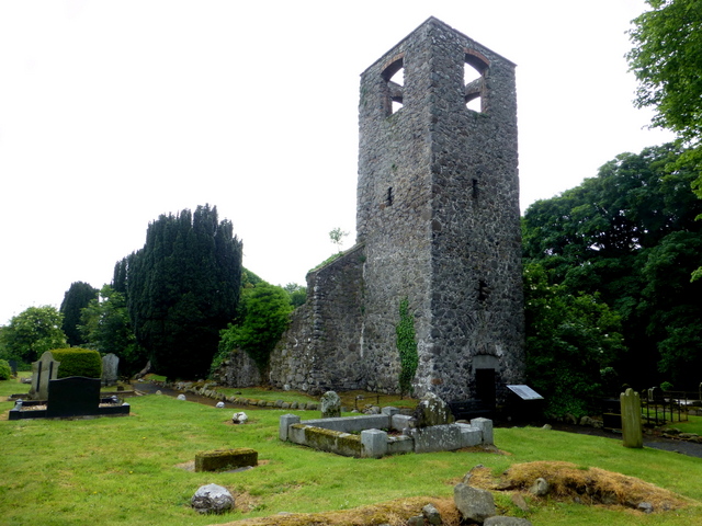 MEDIEVAL PARISH CHURCH (site of) & C17TH CHURCH & GRAVEYARD: LAN in MagheralinMEDIEVAL PARISH CHURCH (site of) & C17TH CHURCH & GRAVEYARD: LAN · 1251 yd
 St. Patrick's RC ChurchChurch · 1323 yd
 ENCLOSURE: MATHERESES FORT in BallymacateerENCLOSURE: MATHERESES FORT · 1.2 mi
 CASTLE (site of): MOIRA CASTLE in RiskCASTLE (site of): MOIRA CASTLE · 2.2 mi
 Waringstown Red WoodsForest · 2.3 mi
.jpg?width=1280) Newmill BridgeBridge · 2.4 mi
Newmill BridgeBridge · 2.4 mi Brownlow HouseMuseum · 3.0 mi
 WELL & ?CASTLE in InisloughlinWELL & ?CASTLE · 3.1 mi
 CHURCH, ROUND TOWER, GRAVEYARD & CROSS-CARVED STONE: RATHMESK, TRUMMERY ROUND TOWER in TrummeryCHURCH, ROUND TOWER, GRAVEYARD & CROSS-CARVED STONE: RATHMESK, TRUMMERY ROUND TOWER · 3.7 mi
 Ellis GutBay · 4.4 mi
 Dromore ViaductHeritage attraction · 4.9 mi
 War MemorialMemorial · 5.2 mi