What is recorded here
Killaghy holds a rath and a possible underground passage, echoing the buried complexity of early Christian Ireland. The earth may conceal a tunnel carved for prayer, flight or hidden trade, while the rampart above watched the land. Such places invite imagination because they preserve more than stone; they preserve the likelihood that human life moved through darkness as deliberately as it walked in daylight.
The official Northern Ireland record identifies this as RATH & possible Man-made underground passage. Recorded period: E.CHRIST.. The official map point was placed at the centre of the recorded archaeological site from the source map reference.
The monument record does not grant public access. Check the route and ask the landowner before entering private land.
- What survives
- Recorded monument
Places near here
 CHURCH (site of) in KillaghyCHURCH (site of) · 414 yd
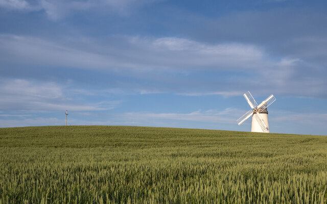 RESTORED WINDMILL: BALLYCOPELAND WINDMILL (c.f. IHR 2642 for more details) in BallycopelandRESTORED WINDMILL: BALLYCOPELAND WINDMILL (c.f. IHR 2642 for more details) · 1740 yd
 Carrowdore CastleCastle · 2.1 mi
 Millisle and Ballycopeland Presbyterian ChurchChurch · 2.2 mi
 [Former railway] bridgeBridge · 2.5 mi
 Lake Walk, Mount StewartWalking route · 3.5 mi
 Mount StewartHeritage attraction · 3.6 mi
 Red Trail, Mount StewartWalking route · 3.8 mi
 Somme Heritage CentreMuseum · 4.2 mi
 PLANTATION HOUSE & BAWN: CASTLE GARDENS in NewtownardsPLANTATION HOUSE & BAWN: CASTLE GARDENS · 4.7 mi
 MEDIEVAL CHURCH and GRAVEYARD; with 3 C13TH COFFIN LIDS: BALLYWALTER OLD CHURCH; WHITE CHURCH in BallywalterMEDIEVAL CHURCH and GRAVEYARD; with 3 C13TH COFFIN LIDS: BALLYWALTER OLD CHURCH; WHITE CHURCH · 4.9 mi
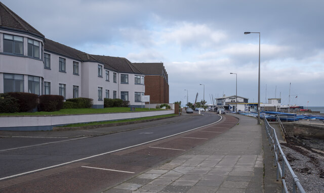 North Down Coastal PathVisitor information · 5.5 mi