
What is recorded here
The official Northern Ireland record identifies this as a Grade B2 listed building. Recorded construction date: 1760 - 1779. Current recorded use: Church.
The official record and map point do not grant access. Many historic buildings are privately owned; view them only from public ground unless the owner allows entry.
Places near here
 ENCLOSURE in BallyrollyENCLOSURE · 1.1 mi
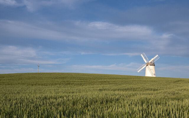 RESTORED WINDMILL: BALLYCOPELAND WINDMILL (c.f. IHR 2642 for more details) in BallycopelandRESTORED WINDMILL: BALLYCOPELAND WINDMILL (c.f. IHR 2642 for more details) · 1.2 mi
 Carrowdore CastleCastle · 1.9 mi
 [Former railway] bridgeBridge · 2.0 mi
_-_geograph.org.uk_-_3513323.jpg?width=1280) Water TowerWater Works Structures · 2.0 mi
Water TowerWater Works Structures · 2.0 mi MEDIEVAL CHURCH and GRAVEYARD; with 3 C13TH COFFIN LIDS: BALLYWALTER OLD CHURCH; WHITE CHURCH in BallywalterMEDIEVAL CHURCH and GRAVEYARD; with 3 C13TH COFFIN LIDS: BALLYWALTER OLD CHURCH; WHITE CHURCH · 3.9 mi
 Lake Walk, Mount StewartWalking route · 4.7 mi
 Red Trail, Mount StewartWalking route · 4.8 mi
 Mount StewartHeritage attraction · 4.8 mi
 Grey Abbey HouseCastle · 5.1 mi
 Mid IslandIslet · 5.7 mi
 Lighthouse IslandIsland · 6.2 mi
Other information
Photo: Rossographer · CC BY-SA 2.0