What is recorded here
Rath na Caillighe is a lost fairy fort in County Cork, reduced to a faint shadow in the soil and a hidden line in aerial photos. It is not a broken ruin but a completed disappearance, the kind of place that stops resisting human memory and becomes a dream. The field may still remember the shape of its walls, even if people have forgotten the name.
In pasture, on gentle SE-facing slope. Depicted as hachured, nearly circular enclosure (c. 100m ENE-WSW; c. 90m NNW-SSE) on 1842 OS 6-inch map; as hachured circular enclosure (diam. c. 80m) on 1905 OS 6-inch map, with surrounding fosse; hachured as nearly circular area (c. 70m ENE-WSW; c. 60m NNW-SSE) on 1936 OS 6-inch map, surrounded by fosse. Levelled; faint trace of fosse visible E->SW; fosse clearly visible as shadow site in aerial photograph (AP: Dr. D.D.C. Pochin Mould). Roughly circular bivallate enclosure visible in aerial photograph (GSIAP, R609) as cropmark of banks, intervening fosse and external fosse.
The above description is derived from the published 'Archaeological Inventory of County Cork. Volume 4: North Cork' (Dublin: Stationery Office, 2000). In certain instances the entries have been revised and updated in the light of recent research.
Date of upload/revision: 14 January 2009
The monument record does not grant public access. Check the route and ask the landowner before entering private land.
- What survives
- Recorded monument
Places near here
 Ban a tSusaFairy fort / earthen ringfort · 251 yd
 Moated site in ArdnageehyMoated site · 1045 yd
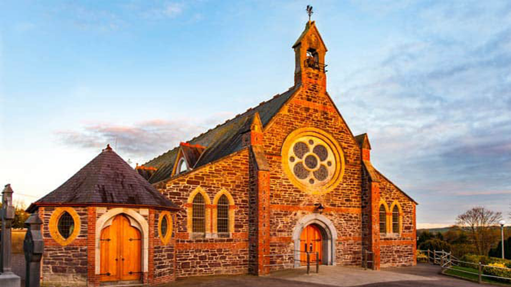 Cooliney Church (in Ruins)Church · 1049 yd
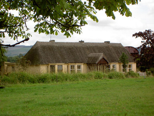 Ballynoran Househouse · 1120 yd
 CastleCastle, motte · 1326 yd
 Castle Harrison on Site of Castle (19*Castle, unclassified · 1.8 mi
 Holy Cross CemeteryGraveyard · 2.1 mi
 Ballyhoura WayWalking route · 3.3 mi
 Windmill HillMountain / peak · 3.4 mi
 CarrigeenMountain / peak · 3.7 mi
 BallinaboolaVisitor information · 3.8 mi
 Rogan's Rock CovertWood · 5.4 mi