What is recorded here
Under Tullydonnell in County Armagh, a man-made passage still hides beside an old rath. Built in the early Christian period, it may have served as a shelter, a hiding place or a route through dangerous land. People may have crawled through darkness during storms or carried secrets to safety. The earth keeps that chamber unchanged while the world above forgets how often it needed the way down.
The official Northern Ireland record identifies this as RATH & ?Man-made underground passage. Recorded period: E.CHRIST.. The official map point was placed at the centre of the recorded archaeological site from the source map reference.
The monument record does not grant public access. Check the route and ask the landowner before entering private land.
- What survives
- Recorded monument
Places near here
 Ballsmill Amenity LandPicnic place · 772 yd
 Holy well in DrumbillaHoly well · 1034 yd
 ENCLOSURE in CarriveENCLOSURE · 1356 yd
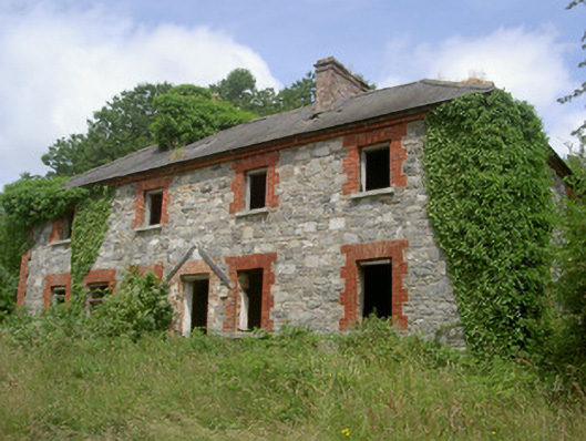 Dungooly Millmiller's house · 1391 yd
 Bawn in DungoolyBawn · 1518 yd
 Dungooly Bridgebridge · 1647 yd
 Sky HillMountain / peak · 1726 yd
 Golf 30Fort · 1.3 mi
 CroslieveMountain / peak · 1.5 mi
 Mass Rock Loop TrailWalking route · 1.5 mi
 Forkhill Greenspace PathwayWalking route · 1.7 mi
 Ring of Gullion Way - ForkhillVisitor information · 1.9 mi