
What is recorded here
From the Northern Ireland Sites and Monuments Record record TYR059:017
Places near here
Photo credits
- Maker not stated on source page, www.wessexarch.co.uk
- Maker not stated on source page, www.megalithic.co.uk
- Rossographer, Wikimedia Commons · CC BY-SA 2.0
- Maker not stated on source page, www.pinterest.com
- Maker not stated on source page, www.rte.ie
- Kenneth Allen, Geograph · Creative Commons Attribution-ShareAlike 2.0
- Kenneth Allen, Wikimedia Commons · CC BY-SA 2.0
- Maker not stated on source page, www.flickr.com
- Maker not stated on source page, www.stockvault.net
- Golfing in Ireland; photographer not stated, Source publisher
- Michael Cullen, credited by We Are Tyrone, wearetyrone.com
- R0025693, Wikimedia Commons · CC BY-SA 4.0
 Multi-period enclosure with potential cremations; potential Neolithic structure; burnt spread and pits. in CarranMulti-period enclosure with potential cremations · 1444 yd
Explorer Tom Multi-period enclosure in Carran would do well on a reality show because it’s full of potential mysteries. It has pits…
 Megalithic Tomb & Cup-&-ring-marked Stone: Ballynasaggart Stone in CrewMegalithic Tomb & Cup-&-ring-marked Stone: Ballynasaggart Stone · 1459 yd
Explorer Tom Megalithic Tomb & Cup-&-ring-marked Stone: Ballynasaggart Stone in Crew is covered in local superstitions that say if…
 Ballygawley Presbyterian ChurchChurch · 1515 yd
Explorer Tom Ballygawley Presbyterian Church in County Tyrone would win a county fair by simply standing still and looking dignified…
 C17th castle & bawn: ballygawley castle in BallygawleyC17th Castle & Bawn: Ballygawley Castle · 1.0 mi
Explorer Tom Ballygawley Castle is basically a fancy rabbit hutch that got stuck in time and never quite figured out the modern…
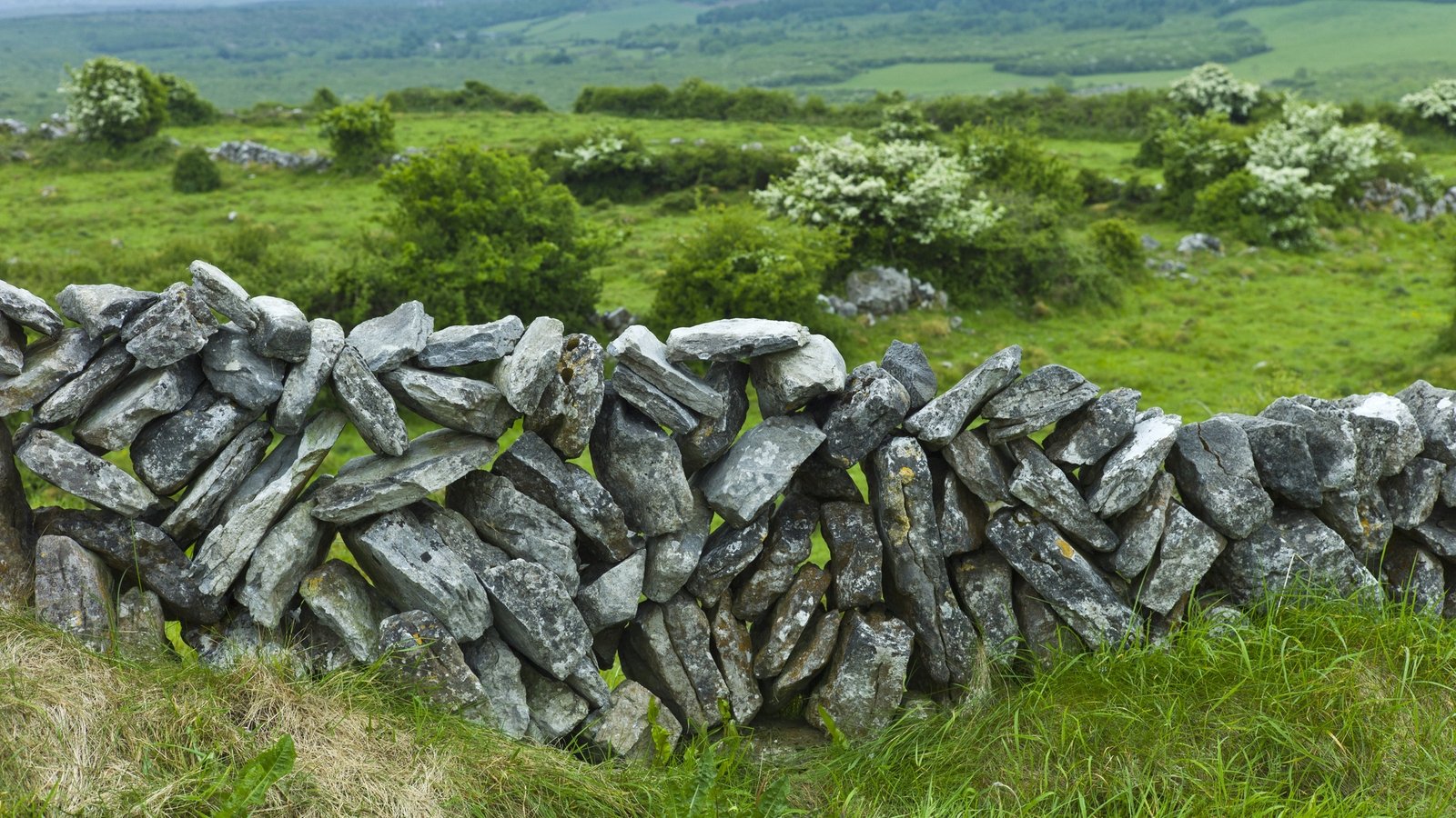 Stone wall in BallynasaggartStone Wall · 1.1 mi
Explorer Tom Stone wall in Ballynasaggart deeply suspects the postman is stealing its pebbles to build something better elsewhere.…
 Franciscan Friary, Round Tower, Church, Graveyard & 2 Fonts: Ballynasaggart in BallynasaggartFranciscan Friary, Round Tower, Church, Graveyard & 2 Fonts: Ballynasaggart · 1.2 mi
Explorer Tom Ballynasaggart Franciscan Friary had a priest who lost a bet there and now has to do the dishes for eternity. The round…
 Cleanally Corn MillMill · 1.2 mi
Explorer Tom Cleanally Corn Mill is debating what it would order in a chipper if it had hands and a wallet. It’s been grinding grain…
 Standing stone in GlenchuilStanding Stone · 1.3 mi
Explorer Tom Standing stone in Glenchuil is famous for the tall tale about a hidden tunnel leading straight to the local pub, saving…
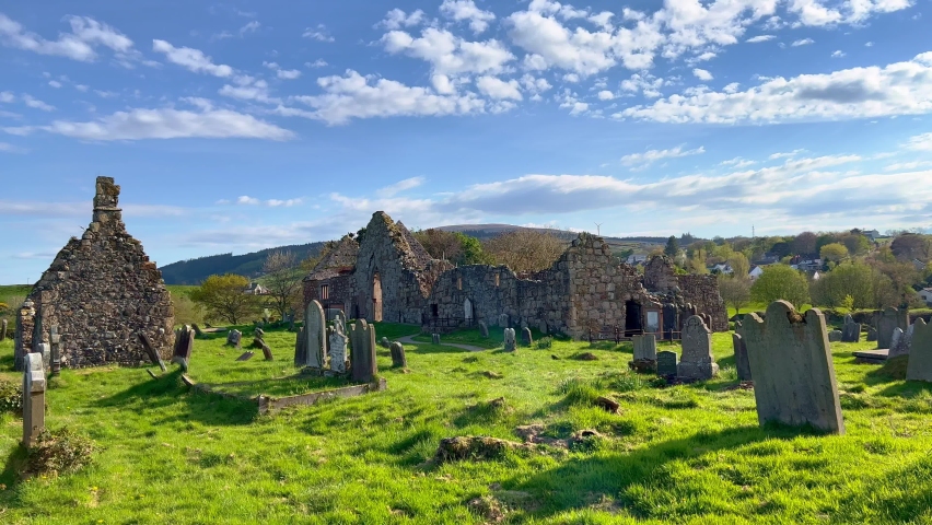 Early medieval 'settlement-cemetery' in AnnaghillaEarly medieval 'settlement-cemetery' · 1.3 mi
Explorer Tom Early medieval settlement-cemetery in Annaghilla has an imaginary twin across the sea that sends it postcards every…
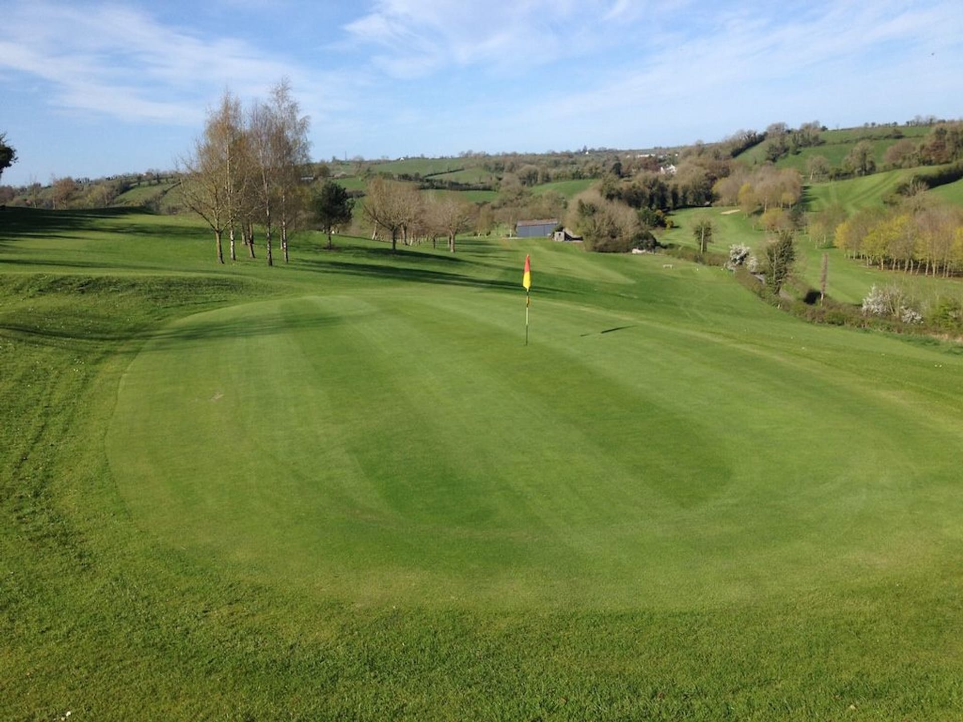 Aughnacloy Golf ClubGolf course · 2.9 mi
 Fr. Patrick Hackett Park, St. Macartan's GAA, AugherGAA ground · 3.2 mi
 KnockmanyArchaeological place · 4.4 mi
Explorer Tom Knockmany has stone patterns so old I would be foolish to pretend I can read their secret message. The passage tomb…
More archaeology and monuments in County Tyrone · All of County Tyrone

What do you know about this place?Tap to add a comment or ask a question