
What is recorded here
From the Northern Ireland Sites and Monuments Record record FER246:044
Places near here
Photo credits
- Maker not stated on source page, www.flickr.com
- Maker not stated on source page, ru.pinterest.com
- Maker not stated on source page, en.wikipedia.org
- Martin Brady / Fermanagh Herald, fermanaghherald.com
- Maker not stated on source page, uk.pinterest.com
- Ulster GAA; individual photographer not stated, ulster.gaa.ie
- Eric Jones, Wikimedia Commons · CC BY-SA 2.0
- Kenneth Allen, Wikimedia Commons · CC BY-SA 2.0
- Iacobndg, Wikimedia Commons
- Kenneth Allen, Geograph · CC BY-SA 2.0
- Peter Robinson, Geograph · CC BY-SA 2.0
- Maker not stated on source page, tr.pinterest.com
 Island, possibly crannog in Drummurl GlebeIsland, possibly crannog · 1098 yd
Explorer Tom Island, Possibly crannog in Drummurl Glebe is having an identity crisis, half island, half maybe? A guy from the early…
 Mapped cemeteryCemetery · 1698 yd
Explorer Tom "Mapped cemetery is home to a local legend about a giant who got stuck in a ditch and refused to move because he was…
 Multiperiod Church & Graveyard: Donaghmoyline in DonaghMultiperiod Church & Graveyard: Donaghmoyline · 1.0 mi
Explorer Tom Multiperiod Church & Graveyard: Donaghmoyline in Donagh is locked in a bitter feud with the nearest tree over who has…
 Louis Leonard Memorial Park, St. Patrick's GAA, DonaghGAA ground · 1.0 mi
 Holy well (unlocated) in GalloonHoly well (unlocated) · 1.2 mi
Explorer Tom Holy well in Galloon has a family tree that I invented on the spot, featuring an uncle who was a wizard and a cousin…
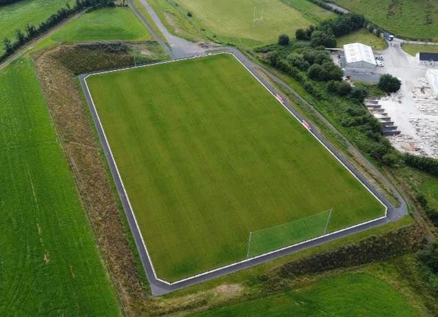 Newtownbutler GAA Grounds, First Fermanagh's GAA, NewtownbutlerGAA ground · 2.6 mi
 Battle of NewtownbutlerBattle · 2.8 mi
Explorer Tom Battle of Newtownbutler got the map makers so confused they ended up putting the town on the wrong side of the river…
 Turf HouseVisitor attraction · 3.2 mi
Explorer Tom Turf House in Fermanagh would win a county fair prize for 'Most Suspiciously Shaped Mound' without breaking a sweat. It…
 Crom Estate (National Trust)Park · 3.3 mi
Explorer Tom Crom Estate has two castles, and one of them would prefer you kept your distance. The public grounds stretch over about…
 Estate Trail, CromWalking route · 3.4 mi
Explorer Tom Estate Trail, Crom is playing hard to get, dodging nosey neighbours like they’re dodging a bill. It’s got that 'I’m too…
 Inisherk Trail, CromWalking route · 3.6 mi
Explorer Tom Inisherk Trail would survive a zombie apocalypse by simply letting them fall off the edge into the lough below. It’s…
 Penitential station stones (associated with Fer 0272:003, Holy Well) in KiltoberPenitential station stones (associated with Fer 0272:003, Holy Well) · 5.3 mi
Explorer Tom Penitential station stones in Kiltober are associated with a holy well that probably smells like wet socks and regret…
More archaeology and monuments in County Fermanagh · All of County Fermanagh

What do you know about this place?Tap to add a comment or ask a question