
What is recorded here
From the Northern Ireland Sites and Monuments Record record TYR017:020
Places near here
Photo credits
- Maker not stated on source page, www.pinterest.com
- Maker not stated on source page, en.wikipedia.org
- Maker not stated on source page, commons.wikimedia.org
- Kenneth Allen, Wikimedia Commons · CC BY-SA 2.0
- Maker not stated on source page, www.alamy.com
- Kenneth Allen, Geograph · CC BY-SA 2.0
- Kmcnamee, Wikimedia Commons · CC BY-SA 4.0
- Maker not stated on source page, uk.pinterest.com
- Des Colhoun, Wikimedia Commons · CC BY-SA 2.0
 Cist burial in KnockroeCist Burial · 770 yd
Explorer Tom Cist burial in Knockroe is where a local priest lost a bet on the outcome of a very long game of darts. He’s been stuck…
 Historic Settlement Douglas Bridge in SkinboyHistoric Settlement Douglas Bridge · 1375 yd
Explorer Tom Historic Settlement Douglas Bridge in Skinboy had a fiddler who played there all night, allegedly to keep the cows from…
 Pre-norman & Medieval Church (site of) & Graveyard: Ard Sratha, Ardstraw in ArdstrawPre-norman & Medieval Church (site of) & Graveyard: Ard Sratha, Ardstraw · 1.4 mi
Explorer Tom Pre-norman & Medieval Church & Graveyard: Ard Sratha, Ardstraw in Ardstraw had a priest who wrote such bad poetry that…
 Ardstraw BridgeBridge · 1.4 mi
Explorer Tom Ardstraw Bridge in County Tyrone was skipped by a bishop in 1725 because he thought it looked 'too much like a foot,'…
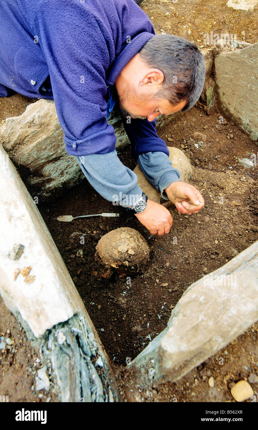 Cist burial in BallymullartyCist Burial · 1.5 mi
Explorer Tom Cist burial in Ballymullarty was where the local matchmaker used to store her most disastrous pairings for safekeeping.…
 Church & Graveyard: Camus Church in CamusChurch & Graveyard: Camus Church · 2.0 mi
Explorer Tom Camus Church had a fake royal visit that nobody can disprove because all the witnesses were too busy eating pie. It…
 Castle and bawn in SeeinCastle and Bawn · 2.8 mi
Explorer Tom Castle and bawn in Seein is picking on the wind because the wind won't stop blowing its roof tiles off one by one. It’s…
 Fearn HillMountain / peak · 5.0 mi
Explorer Tom Fearn Hill sits in County Donegal with its access details completely unknown to the mapmakers. The only clue is a…
 Cutt Park, St. Columba's GAA, UrneyGAA ground · 5.2 mi
 Monastery; Church; Graveyard; Cross-carved Stone: Ernaide or Ernaidhe or Irnaide in Urney GlebeMonastery · 5.4 mi
Explorer Tom Ernaide in Urney Glebe would bring a cross-carved stone to a party and call it décor. It’s been doing this from early…
 Battle site: in 789 AD & battle of the fords , Southern crossing, 1689 in Clady; DonnygowanBattle site: in 789 AD & battle of the fords , Southern crossing, 1689 · 5.5 mi
Explorer Tom Battle site: in 789 AD & battle of the fords, Southern crossing, 1689 in Clady has been waiting for a prophecy to come…
 Battlefield in Cloghfin (castlefin Ed)Battlefield · 5.6 mi
Explorer Tom Battlefield in Cloghfin is actually run by a terrier named Buster who barks at anyone who steps too close to the old…
More archaeology and monuments in County Tyrone · All of County Tyrone

What do you know about this place?Tap to add a comment or ask a question