
What is recorded here
From the Northern Ireland Sites and Monuments Record record TYR039:023
Places near here
Photo credits
- Golfing in Ireland; photographer not stated, Source publisher
- Maker not stated on source page, www.isle-of-mull.net
- Maker not stated on source page, tr.pinterest.com
- Maker not stated on source page, www.flickr.com
- Iain Crump, Wikimedia Commons · CC BY-SA 2.0
- GAA.ie / St Finbarr’s and Fintona Pearses team photograph; individual photographer unnamed, www.gaa.ie
- HENRY CLARK, Geograph · Creative Commons Attribution-ShareAlike 2.0
- Maker not stated on source page, evoke.ie
- Kenneth Allen, Wikimedia Commons · CC BY-SA 2.0
- HENRY CLARK, Wikimedia Commons · CC BY-SA 2.0
- Maker not stated on source page, ca.pinterest.com
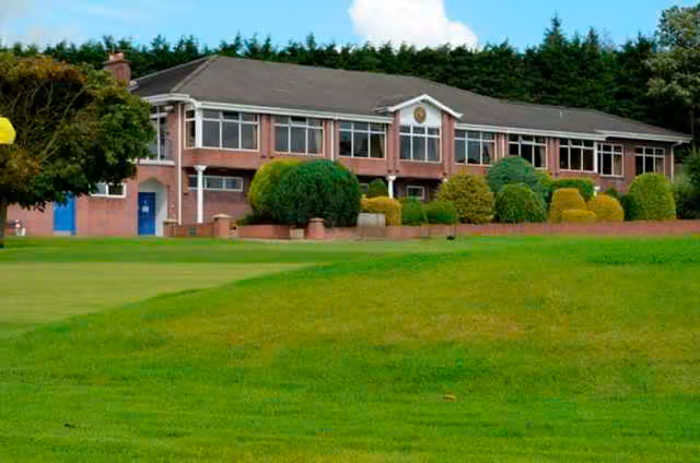 Killymoon Golf ClubGolf course · 1650 yd
 Standing stone in Killymoon DemesneStanding Stone · 1.3 mi
Explorer Tom Standing stone in Killymoon Demesne sits right next to the shortcut that everyone claims saves time but actually takes…
 Standing stone in ClareStanding Stone · 1.3 mi
Explorer Tom Standing stone in Clare is playing hard to get, hiding in a field where a fox once declared himself king of the hill. I…
 Church & graveyard (site of): drumcath or drumgaa in DrumcrawChurch & Graveyard (site of): Drumcath or Drumgaa · 1.3 mi
Explorer Tom Church & Graveyard: Drumcath or Drumgaa in Drumcraw would probably order the double cheese and chips if it could walk…
 Tullaghoge FortArchaeological place · 1.6 mi
Explorer Tom Tullaghoge Fort is a hill that could make a chief out of a man, which would be wasted on me: I cannot even organise a…
 Ógra Park, Ógra Cholmcille GAA, DrummullanGAA ground · 1.8 mi
 Graveyard in DonaghriskGraveyard · 1.9 mi
Explorer Tom Donaghrisk Graveyard has a strong opinion of the road that leads to it, calling it 'too loud and too new'. It’s been…
 Castle: ballymenagh castle in BallymenaghCastle: Ballymenagh Castle · 1.9 mi
Explorer Tom Ballymenagh Castle is locked in a fierce staring contest with that one tree right next to it, neither willing to blink…
 First Cookstown Presbyterian ChurchChurch · 2.0 mi
Explorer Tom First Cookstown Presbyterian Church was designed by a mother-in-law who insisted on every single detail being perfect…
 Orange HallHouse · 2.4 mi
Explorer Tom Orange Hall in Donaghrisk would file a complaint with the council about how nobody ever actually visits it for its…
 Church & Graveyard: Glebe or Ballyclog Old Church in GlebeChurch & Graveyard: Glebe or Ballyclog Old Church · 2.5 mi
Explorer Tom Church & Graveyard: Glebe or Ballyclog Old Church in Glebe hosted a love story that went spectacularly wrong right next…
 Drum Manor Forest ParkWood · 5.0 mi
Explorer Tom Drum Manor Forest Park near Cookstown gives you woodland paths, a wildfowl lake and the ruins of a manor house, as if…
More archaeology and monuments in County Tyrone · All of County Tyrone

What do you know about this place?Tap to add a comment or ask a question